Catalog Archive
Auction 173, Lot 167

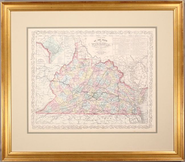
"A New Map of the State of Virginia Exhibiting its Internal Improvements Roads Distances &c.", Desilver, Charles

Subject: Virginia & West Virginia

Period: 1856 (dated)

Publication: A New Universal Atlas...

Color: Hand Color

Size:
15.6 x 12.6 inches
39.6 x 32 cm
Download High Resolution Image
(or just click on image to launch the Zoom viewer)

This attractive map has the imprint of Charles Desilver and is filled with detail of the counties, cities, roads and railways. Delineates and names counties with engraved line and hand coloring. At top right is an inset with the detailed explanation of the "Principal Rail Road & Stage Routes through Virginia." A second inset is a city plan of Washington D.C. The map is drawn on a scale of 30 miles per inch. The legend uses different lines to differentiate between operational railroads, those in progress and those planned. Fancy titling and decorative border.

References:

Condition: A

Original color on a bright sheet with a minor spot in the left blank margin and light toning along the edges of the sheet. Several of the routes on the map have been lightly traced in pencil. Framed with 100% museum grade materials. Not examined outside of frame - sold as is and not subject to return.

Estimate: $140 - $170

Sold for: $180

Closed on 6/5/2019

Archived