Catalog Archive
Auction 173, Lot 147

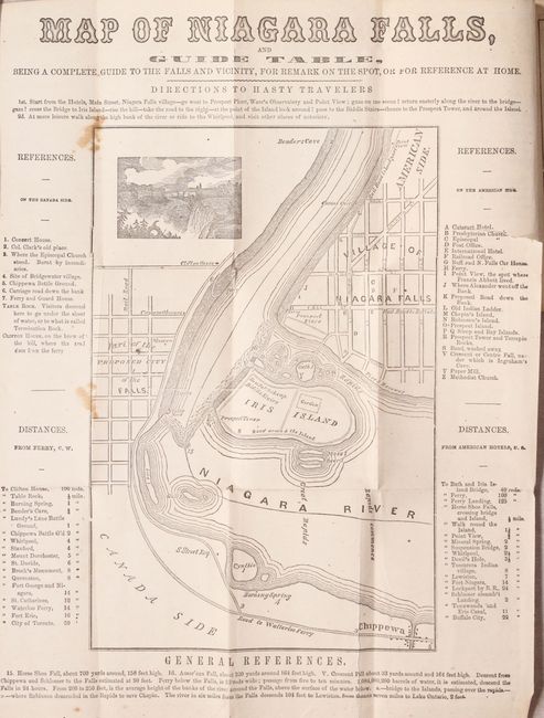
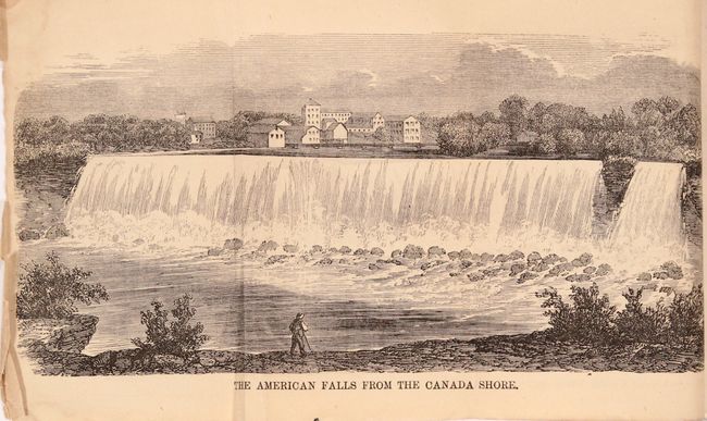
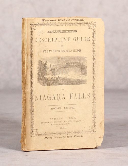
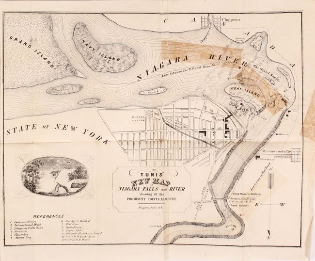
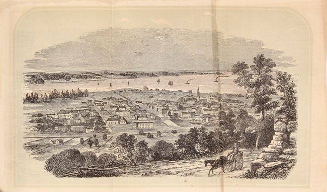
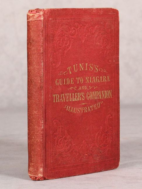
"[Lot of 2] Map of Niagara Falls, and Guide Table... [bound in] Burke's Descriptive Guide or Visitor's Companion to Niagara Falls... [and] Tunis' New Map of Niagara Falls and River... [bound in] Tunis's Topographical and Pictorial Guide to Niagara...",

Subject: Niagara Falls, New York, Canada

Period: 1854-56 (published)

Publication:

Color: Black & White

Size:
See Description
Download High Resolution Image
(or just click on image to launch the Zoom viewer)

A. Map of Niagara Falls, and Guide Table... [bound in] Burke's Descriptive Guide or Visitor's Companion to Niagara Falls for 1854, by Andrew Burke, published 1854 (6.3 x 9.4"). This early Niagara Falls guidebook includes a frontispiece map (6.2 x 9.5") depicting the Falls, Iris Island, and the village of Niagara Falls with a number of references for the reader surrounding the map image. The 108 page guide also includes three fold-out views of the Falls and vicinity, and is noteworthy for its final chapter “The White Canoes. An Indian Legend." This is a very early literary reference to the "Maid in the Mist" story which quickly became a key part of Niagara Falls' marketing efforts and survives to this day. All the Burke guides are rare as they were self-published by the author and only from 1850-57. 16mo, pictorial wrappers. Condition: The map has a few spots of foxing and a 1.5" binding tear at right confined to the text bordering the map. Folding plates are lightly toned and text has an occasional spot of foxing. Wrappers are lightly soiled. (B+)

B. Tunis' New Map of Niagara Falls and River Showing All the Prominent Points Adjacent [bound in] Tunis's Topographical and Pictorial Guide to Niagara..., by W.E. Tunis, published 1856 (11.4 x 8.8"). A similar guidebook issued two years later with frontispiece map (11.3 x 8.8") showing the Falls, several islands in the river, and the street grid of the city of Niagara Falls. Includes a table to 12 points of interest and is decorated by a vignette of the Falls. The guidebook contains four additional folding plates including a view of Hamilton, New York and a map of the eastern United States. 138 pp., hardbound in red cloth with gilt title on front cover. Condition: Folding map has a 6" tear at right that has been closed on verso with cello tape with some staining visible on recto. Text and other folding plates are very good with pleasant light toning. Covers have light wear. Map (B), Contents/Binding (B+).

References:

Condition:

See description above.

Estimate: $180 - $220

Sold for: $60

Closed on 6/5/2019

Archived