Catalog Archive
Auction 172, Lot 625

NO RESERVE

"Carte Generale de l'Asie", Bonne, Rigobert
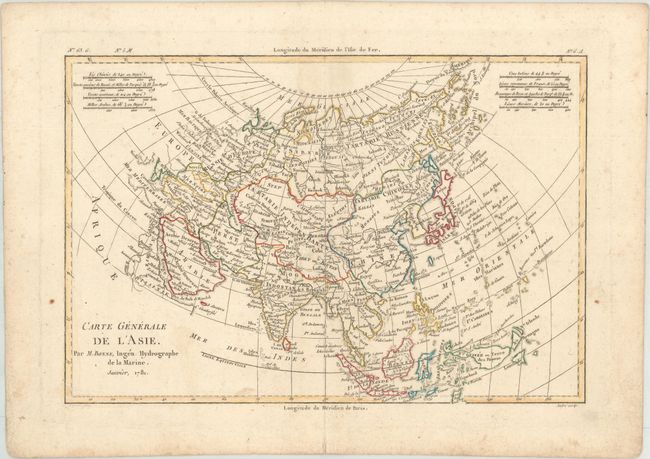
Subject: Asia

Period: 1781 (dated)

Publication:

Color: Hand Color

Size:
12.6 x 8.4 inches
32 x 21.3 cm
Download High Resolution Image
(or just click on image to launch the Zoom viewer)

Nice map of Asia with detail of the countries from Nova Zemla and the Bering Strait in the north to the northern tip of Australia in the south. The outline of Asia is typical of the period with a few revisions and innovations. A group of islands off the east coast of Kamchatka is identified as the Archipel du Nord, and includes Is. d'Aleuts (for the Aleutian Islands) as well as I. Alaschka adjacent to the northwestern tip of America. A small remnant of the T. de la Companie is shown just east of Japan. The Carolines, or Nouvelle Philippines, are also misplaced too far to the west. Distance scales records a variety of different measurements: the Indian coss; the French lieue; the Persian parasange; the Chinese li; Russian verst; and Turkish and Arab miles.

References: cf. Yeo #180.

Condition: B+

Light soiling.

Estimate: $80 - $100

Sold for: $31

Closed on 4/17/2019

Archived