Catalog Archive
Auction 171, Lot 86

"Hemisphere Occidental Dresse pour l'Usage Particulier du Roy, sur les Observations Astronomiques et Geographiques...", Delisle/Dezauche

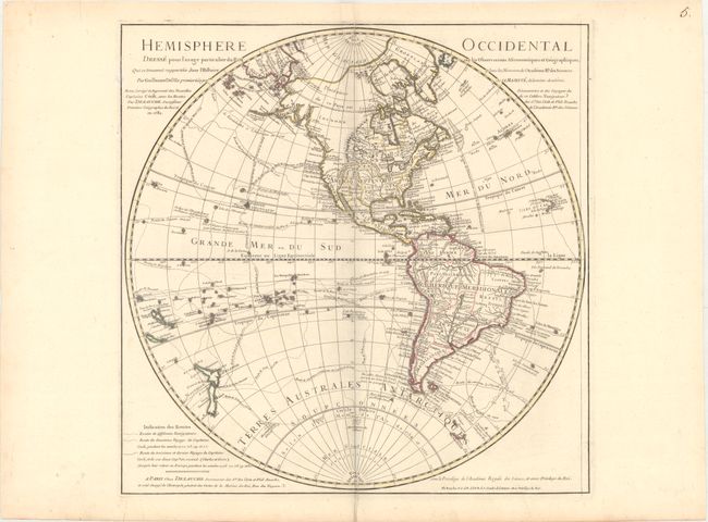
Subject: Western Hemisphere - America

Period: 1782 (dated)

Publication:

Color: Hand Color

Size:
19.6 x 19.8 inches
49.8 x 50.3 cm
Download High Resolution Image
(or just click on image to launch the Zoom viewer)

This fine map shows various explorers' routes through the Western Hemisphere. It is an updated edition of a map first issued by Delisle in 1724. According to Tooley, this is the fifth state of the map, after revisions by Buache and Covens and Mortier. The map has been redrawn to reflect the discoveries of Captain Cook. The present-day United States is divided into the colonies along the east coast, a large Florida that extends into much of present-day Georgia, a massive Louisiane territory, Nouveau Mexique,, and Californie. Quivira is located at the inland terminus of the Colorado River. A note by the Strait of Juan de Fuca mentions that the Spanish discovered the R. de l'Ouest in 1603, but the river itself is not delineated. The cartography of the northwestern coast of North America has been greatly improved from past versions of the map, and New Zealand's coastlines are up-to-date.

References: Tooley (Amer) p. 18 #26.

Condition: A

A crisp impression on watermarked paper with a printer's crease at bottom.

Estimate: $350 - $425

Sold for: $195

Closed on 2/6/2019

Archived