Catalog Archive
Auction 171, Lot 787

NO RESERVE

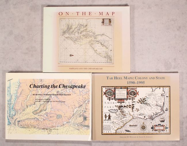
"[Lot of 3] Washington College Presents - On the Map - An Exhibit and Catalogue of Maps Relating to Maryland and the Chesapeake Bay... [and] Charting the Chesapeake [and] Tar Heel Maps: Colony and States 1590-1995...",

Subject: References, Mid-Atlantic United States

Period: 1983-96 (published)

Publication:

Color:

Size:
See Description
Download High Resolution Image
(or just click on image to launch the Zoom viewer)

A. Washington College Presents - On the Map - An Exhibit and Catalogue of Maps Relating to Maryland and the Chesapeake Bay..., by Russell Morrison, Edward C. Papenfuse, Nancy M. Bramucci, and Robert J.H. Janson-La Palme, published 1983, black & white (11.0 x 8.5"). This informative catalog describes the maps of Maryland and the Chesapeake Bay shown in the exhibit honoring George Washington for the 200th anniversary of Washington College. The introduction highlights two maps by Washington. The remainder of the text features 58 additional maps of the region with corresponding descriptions and black and white illustrations. Bound in beige pictorial paper covers. 102 pp. Condition: Contents are very good. Covers are sunned with light shelf wear. (B+)

B. Charting the Chesapeake, by Russell Morrison and Robert Hansen, published 1990, printed color (11.0 x 8.5"). The history of charting the largest estuary in the United States and the land that borders it is told through narrative, charts, and illustrations. This reference reveals how knowledge of the Bay has increased since its first documented explorations in 1607. 167 pp, bibliography, 75 illustrations. It includes a list of U.S. Coast Survey charts of the Bay. Softcover. Condition: Contents good with some creased corners. Covers have extraneous creases and light shelf wear. (B+)

C. Tar Heel Maps: Colony and States 1590-1995 - A Catalogue of Maps of North Carolina on Exhibit at North Carolina Wesleyan College..., by Gregory W. Williams and Allen S. Johnson, published 1996, black & white (11.0 x 8.5"). This hard-to-find reference covers maps of North Carolina over more than four centuries. It is an in-depth catalogue of maps featured in the 1996 exhibit at North Carolina Wesleyan College, featuring publication information, comments, and extensive notes on editions, states, and variations. The accompanying essay on North Carolina's cartographic history provides essential context. Condition: Contents are very good with minor sunning and shelf wear to the covers. (A)

References:

Condition:

See description above.

Estimate: $90 - $120

Sold for: $46

Closed on 2/6/2019

Archived