Catalog Archive
Auction 171, Lot 780

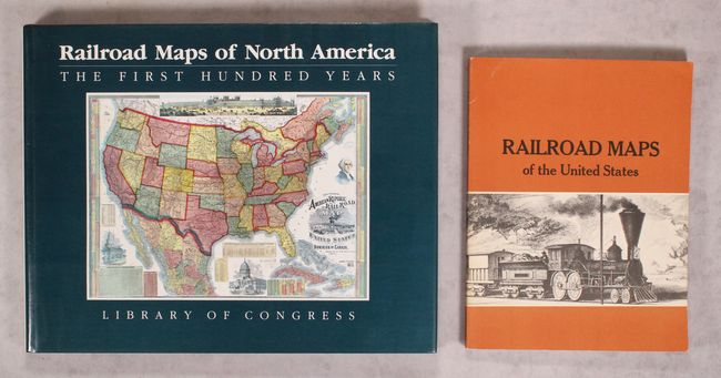
"[Lot of 2] Railroad Maps of North America - The First Hundred Years [and] Railroad Maps of the United States - A Selective Annotated Bibliography of Original 19th-Century Maps in the Geography and Map Division of the Library of Congress", Modelski, Andrew M.

Subject: References, Railroads

Period: 1975-84 (published)

Publication:

Color:

Size:
See Description
Download High Resolution Image
(or just click on image to launch the Zoom viewer)

A. Railroad Maps of North America - The First Hundred Years, published 1984, printed color (14.3 x 11.4"). The ninety-two maps reproduced are a representative sample from the collection in the Library of Congress. They illustrate the development of cartographic style and technique and record the achievements of the early railroad companies. Illustrated in color and black and white, 186 pp. Oblong 4to, hardcover with dust jacket. Modelski was in the Geography and Map Division of the Library of Congress. Condition: Contents are very good with just a few tiny creased corners near the book's end. Covers near fine. Dust jacket has some light soiling on back cover. (A)

B. Railroad Maps of the United States - A Selective Annotated Bibliography of Original 19th-Century Maps in the Geography and Map Division of the Library of Congress, published 1975, black & white (7.9 x 10.3"). This volume, also by Modelski, provides a useful bibliography of railroad maps in the United States, describing 620 maps in total. The content is divided into railroad maps covering the whole nation, various regions, individual states, and individual railroad lines. Illustrated with plates in black and white, 112 pp., with a soft cover. Condition: Contents are good with some manuscript notations in red marker. Covers have minor wear and a touch of sunning along the spine. (B+)

References:

Condition:

See description above.

Estimate: $100 - $130

Sold for: $75

Closed on 2/6/2019

Archived