Catalog Archive
Auction 171, Lot 771
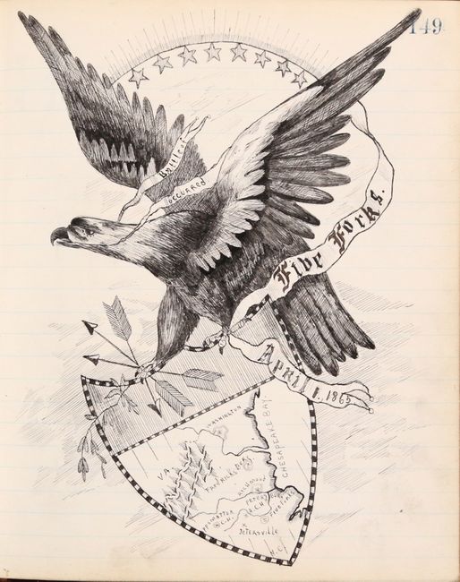
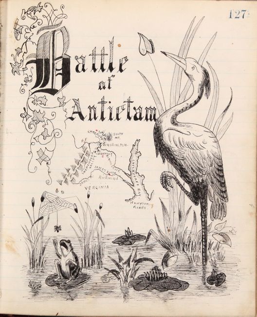
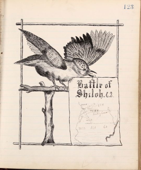
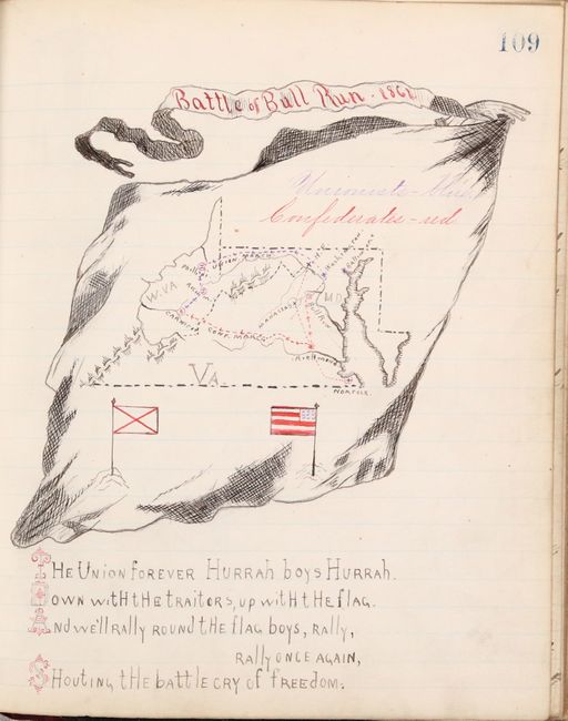
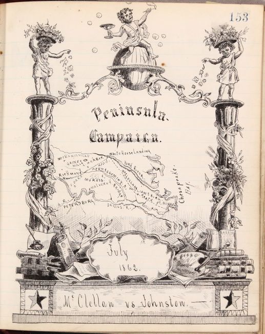
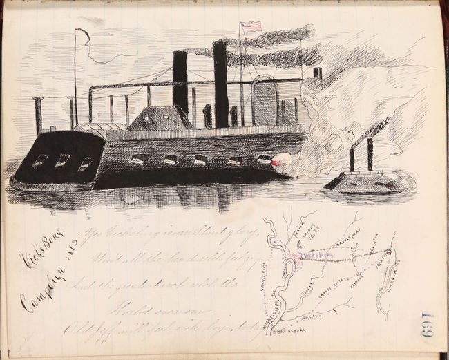
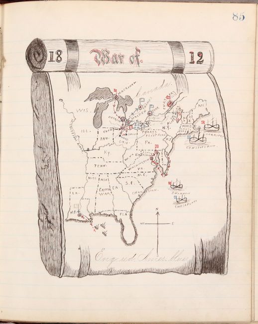
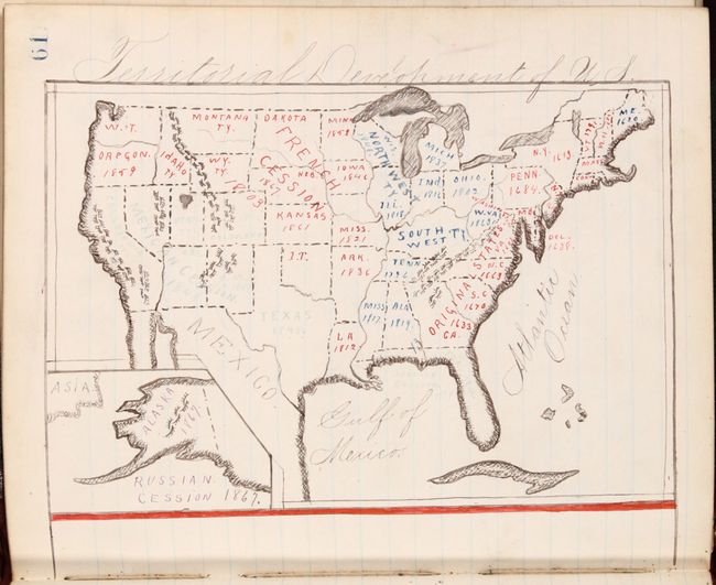
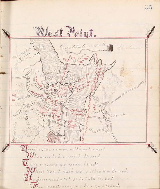
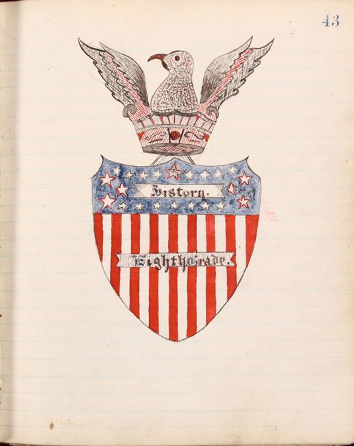
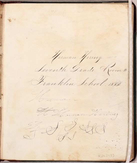
A Fascinating, Embellished Manuscript Atlas
"[Manuscript U.S. and Civil War Atlas]",

1 of 12
Subject: Manuscript Atlas, Civil War
Period: 1888 (dated)
Publication:
Color: Hand Color
Size:
7.2 x 8.6 inches
18.3 x 21.8 cm
Download High Resolution Image
(or just click on image to launch the Zoom viewer)
(or just click on image to launch the Zoom viewer)