Catalog Archive
Auction 171, Lot 758

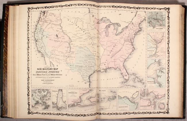
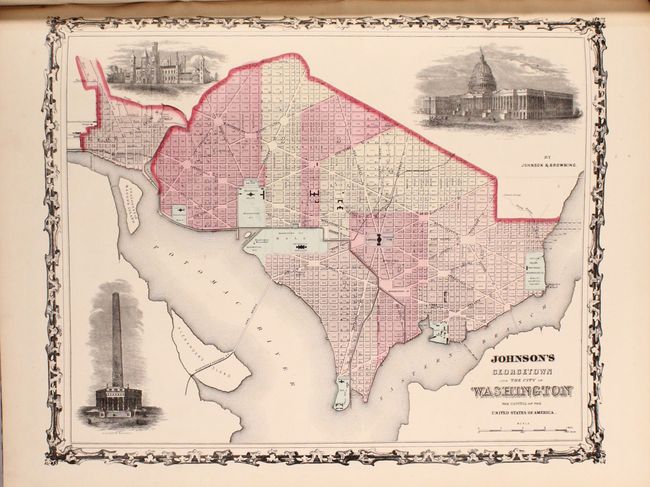
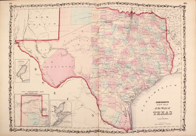
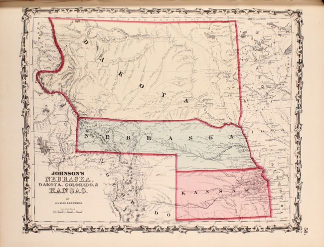
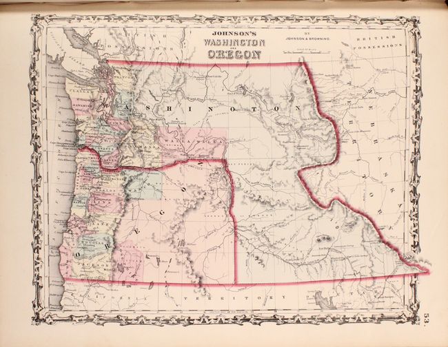
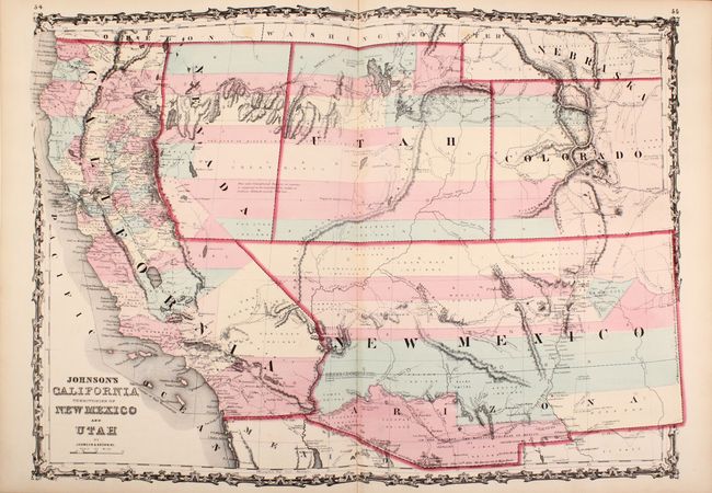
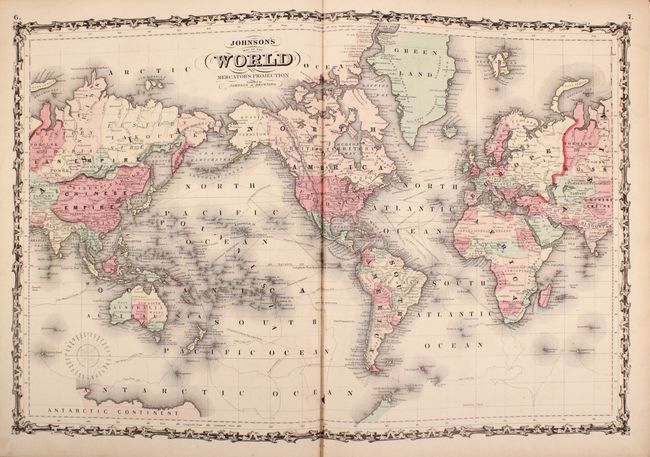
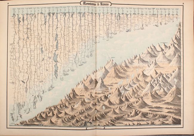
"Johnson's New Illustrated (Steel Plate) Family Atlas, with Descriptions, Geographical, Statistical, and Historical", Johnson & Browning

Subject: Atlases

Period: 1861 (published)

Publication:

Color: Hand Color

Size:
15 x 18.7 inches
38.1 x 47.5 cm
Download High Resolution Image
(or just click on image to launch the Zoom viewer)

This popular atlas is complete with 31 single-page maps and 31 double-page maps. These are all beautiful, steel engraved plates with rich color and tremendous detail. Many of the maps include vignettes showing important buildings and vivid scenes. This desirable atlas is highlighted by the short-lived New Military Map of the United States showing military districts. Other maps of interest include Georgetown and the City of Washington; a great map of the plains territories, a nice map of the Pacific Northwest, and a beautifully engraved frontispiece. This atlas also contains several thematic maps and diagrams interspersed throughout the text.

The map of the Southwest is one of the most desirable editions. This is an uncommon edition from this great series of maps covering the Southwest, with the newly formed Nevada shown occupying part of California to the summit line of the Sierras. The western border of Nevada extends south from Goose Lake (just west of the 120th meridian) and then continues along the Sierra Nevada Mountains, and finally extends east to meet with the southern border of Utah. The Utah/Nevada border is also too far west on the 116th meridian. Arizona shows up in the southern part of New Mexico Territory. This is thought to represent the Confederate Territory of Arizona that existed for nearly a year from August 1861 until July of 1862. The Confederate General Baylor appointed himself the territorial governor and claimed all of New Mexico Territory south of the 34th parallel. In the southern part of Arizona is the "Gadsden Ten Million Purchase of Mexico." The Gold Region in Colorado's South Park is prominently shown, along with the Hastings Road and the routes of numerous explorers and military expeditions. The map is filled with historic and interesting notations. One note in the area of Quartzite, Arizona refers to the area as being "exceedingly fertile and abundantly timbered and well watered." Additional details include the U.S. Mail routes, and the Emigrant road to California.

Folio. Original hardbound quarter calf and tips with embossed green cloth covers, titling in gilt on front cover and spine, and marbled endpapers.

References:

Condition: B+

The maps are overall very good with pleasant light toning and occasional faint offsetting. The maps of North/South Carolina and Kentucky/Tennessee are moderately toned, and the world map on Mercator's Projection has a small worm track along the lower centerfold. There is average shelf wear with bumped edges and somewhat bowed boards.

Estimate: $1,000 - $1,300

Sold for: $750

Closed on 2/6/2019

Archived