Catalog Archive
Auction 171, Lot 753

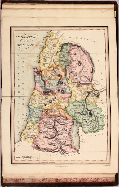
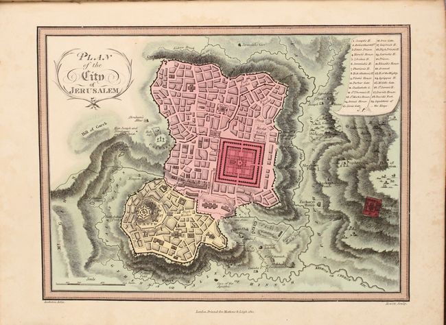
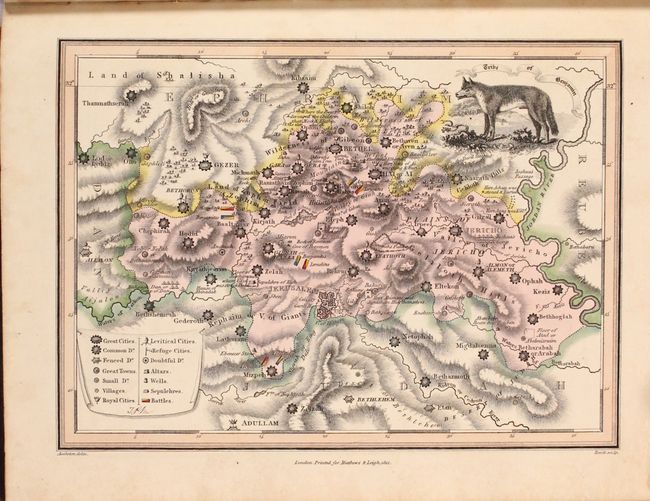
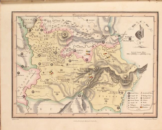
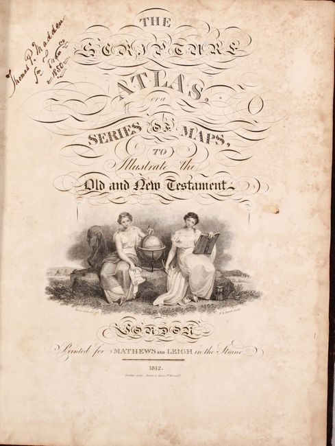
"The Scripture Atlas, or a Series of Maps, to Illustrate the Old and New Testament",

Subject: Atlases

Period: 1812 (published)

Publication:

Color: Hand Color

Size:
9.6 x 12.3 inches
24.4 x 31.2 cm
Download High Resolution Image
(or just click on image to launch the Zoom viewer)

A beautiful, complete, first edition atlas containing fourteen single-page and five double-page, steel engraved maps. Individual maps representing the twelve tribes of Israel each feature a unique vignette to accompany the title. The maps are crisply engraved, highly detailed examples filled with notes regarding biblical events, and each includes a key explaining the sizes of cities and towns, as well as the locations of altars, sepulchers, wells and battles. A beautifully engraved title page featuring a vignette of two female geography students, a globe and the Sphinx was done by N.R. Hewitt. Printed in London for Mathews and Leigh by L. Harrison and J. C. Leigh. Quarto, hardbound in full leather with gilt title on spine.

References: Phillips (Atlases) #87.

Condition: B+

The maps are very good to near fine with occasional color offsetting. A few of the maps have short fold separations at bottom, while the map of Palestine has a separation that extends 2" into the image also at bottom. Decorative title page is moderately foxed with the signature of Thomas Madden at top left, and a former owner's bookplate is on the front pastedown. Covers are scratched and moderately worn, and the spine is chipped at top and bottom.

Estimate: $375 - $450

Sold for: $275

Closed on 2/6/2019

Archived