Catalog Archive
Auction 171, Lot 436

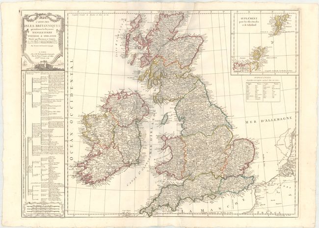
"Carte des Isles Britanniques qui Renferment les Royaumes d'Angleterre d'Ecosse & d'Irlande...", Robert de Vaugondy/Delamarche

Subject: Britain

Period: 1789 (dated)

Publication:

Color: Hand Color

Size:
28.2 x 21.3 inches
71.6 x 54.1 cm
Download High Resolution Image
(or just click on image to launch the Zoom viewer)

Fine, large-scale map of the British Isles with a large inset of the Shetland and Orkney Islands. The map is filled with details including counties, cities, towns, villages, roads and topography. A legend below the inset provides an English-French dictionary of geographical terms and a large table at left shows the political divisions.

References:

Condition: A+

Original outline color. Overall fine with a couple soft, extraneous creases at top.

Estimate: $275 - $350

Unsold

Closed on 2/6/2019

Archived