Catalog Archive
Auction 171, Lot 361

"La Jamaique Dressee sur les Derniers Plans par Jefferys...", Le Rouge, George Louis
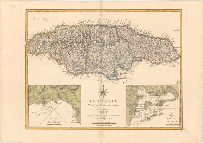
Subject: Jamaica

Period: 1778 (dated)

Publication: Pilot Americain 2.e Partie

Color: Hand Color

Size:
23.9 x 18.1 inches
60.7 x 46 cm
Download High Resolution Image
(or just click on image to launch the Zoom viewer)

This uncommon chart is the French version of the 1775 map by Thomas Jefferys. The map of the island is extremely detailed, depicting parishes, towns and villages, churches, forts, roads, rivers and ponds, harbors, anchorages, soundings, etc. A notation at upper left translates as: "The Negro-towns are Distinguished by a Stroke under the Name." Two large inset maps show the towns and ports of Bluefields and Kingston and Port Royal. Above the title is a large French-style compass rose.

References: Shirley (BL Atlases) #M.LER-2a [28].

Condition: B+

A nice impression on paper with a "Tamizier Auvergne" watermark and wide margins, light toning along centerfold, and minor offsetting.

Estimate: $350 - $425

Sold for: $250

Closed on 2/6/2019

Archived