Catalog Archive
Auction 171, Lot 357

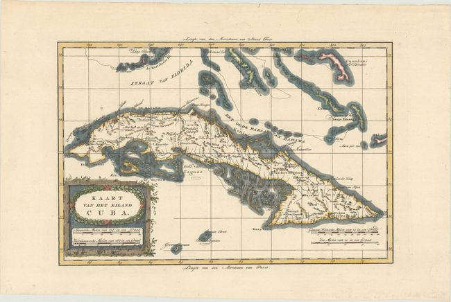
"Kaart van het Eiland Cuba", Bachiene, Willem Albert
Subject: Cuba

Period: 1785 (circa)

Publication: Atlas, tot Opheldering der Hedendaagsche Historie

Color: Hand Color

Size:
12.4 x 8.2 inches
31.5 x 20.8 cm
Download High Resolution Image
(or just click on image to launch the Zoom viewer)

This is an attractive, scarce Dutch edition of Bonne's map of Cuba and the Bahamas. Geographically accurate with some overall scale distortion, which is most notable in present-day Bay de Buena Vista, Golfo de Batabano, and Golfo de Guacanayabo. In the lower part of the map are the Cayman Islands. Interior and coastal information include towns, missions, hospitals and plantations. The map is embellished with a bold title cartouche.

References: Cueto #54.

Condition: A+

A sharp impression on a clean, bright sheet of watermarked paper.

Estimate: $180 - $220

Sold for: $120

Closed on 2/6/2019

Archived