Catalog Archive
Auction 171, Lot 257

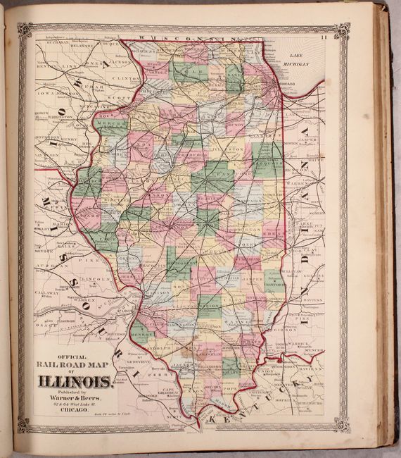
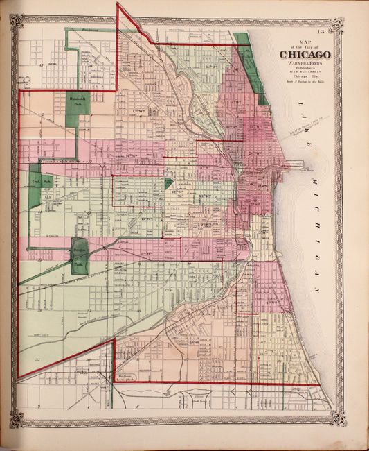
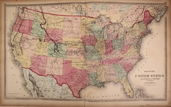
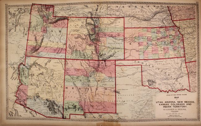
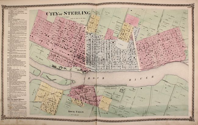
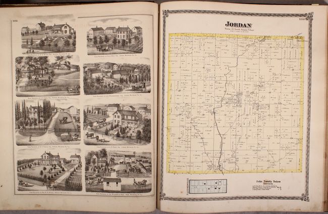
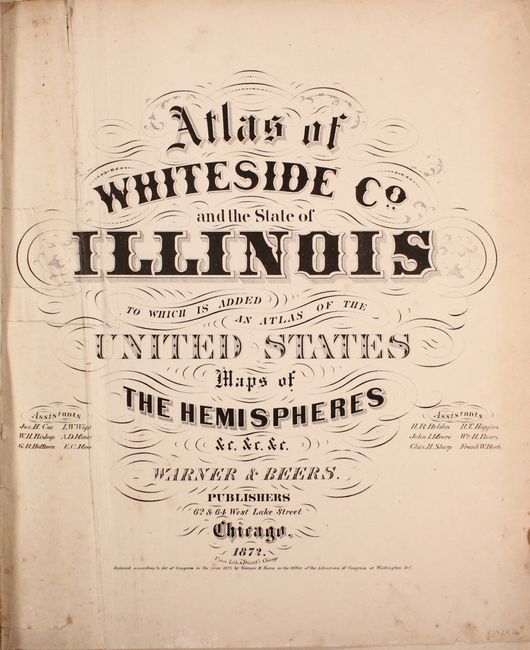
"Atlas of Whiteside Co. and the State of Illinois to Which Is Added an Atlas of the United States Maps of the Hemispheres &c. &c. &c.", Warner & Beers

Subject: Illinois, United States, Atlases

Period: 1872 (published)

Publication:

Color: Hand Color

Size:
15.8 x 18.4 inches
40.1 x 46.7 cm
Download High Resolution Image
(or just click on image to launch the Zoom viewer)

This impressive and innovative concept presents three atlases in one including Warner & Beers maps of Whiteside County (northwestern Illinois), their Atlas of Illinois, and H.H. Lloyd's Atlas of the United States. The Whiteside County section includes 23 maps including a double-page map of the city of Sterling. This section also includes numerous rich illustrations showing prominent residences and public buildings in the county. The Illinois section includes 26 total maps with a nice railroad map of the state and the city of Chicago. The national section includes 12 total maps including a double-page United States, regional maps east of the Mississippi, the state of Texas, and a double-page map of the Southwest. Hardbound in quarter leather with tips over brown cloth boards with gilt title on the front cover.

There are no price records for this atlas in the last 50 years.

References: Rumsey #2585.

Condition: B

The maps range from good to near fine with varying imperfections. The county map section has imperfections related to use including soiling and frequent pencil notations (B/B+). The state section is mostly clean and bright with occasional foxing or staining (B+/A). The national section has light to moderate toning and several old tape repairs, including the bottom recto of the United States map (mostly B condition). There are repairs to the title page at left which is also creased. Both covers are worn, stained, and separated.

Estimate: $600 - $800

Sold for: $400

Closed on 2/6/2019

Archived