Catalog Archive
Auction 171, Lot 176

"Map of Pennsylvania New Jersey and Delaware Constructed from the Latest Authorities", Mitchell, Samuel Augustus

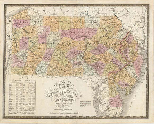
Subject: Mid-Atlantic United States

Period: 1831 (dated)

Publication: American Atlas

Color: Hand Color

Size:
21.6 x 17 inches
54.9 x 43.2 cm
Download High Resolution Image
(or just click on image to launch the Zoom viewer)

This is the first edition of Mitchell's map of Pennsylvania that was included in his American Atlas. Mitchell purchased the plates from Anthony Finley and subsequently published them under his name. The map is delineated by county in full color with canals, proposed canals, railroads, proposed railroads, and roads depicted in outline. A table at lower left shows population for 1810 and 1820 for Pennsylvania, New Jersey and Delaware. Surrounded by a keyboard-style border. Engraved by James Young.

References:

Condition: B+

A crisp impression with minor repairs to a few short centerfold separations. There are a couple of minor surface abrasions and several small edge chips have been professionally repaired on verso.

Estimate: $180 - $220

Sold for: $130

Closed on 2/6/2019

Archived