Catalog Archive
Auction 171, Lot 144

NO RESERVE

"Map of the United States and Territories...", General Land Office

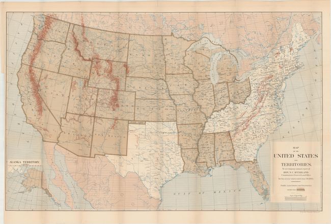
Subject: United States

Period: 1884 (dated)

Publication:

Color: Printed Color

Size:
38.3 x 24.1 inches
97.3 x 61.2 cm
Download High Resolution Image
(or just click on image to launch the Zoom viewer)

This detailed lithograph of the United States was published in the annual report of the General Land Office for 1884 under the direction of N.C. McFarland. The map is color-coded to show the public land states/territories, which includes the entire United States west of the Mississippi excluding Texas (which had its own Land Office as part of the annexation settlement) and Indian Territory. Additional details include topography, drainage, cities and towns. An inset of Alaska Territory is included at bottom left. Lithographed by Norris Peters in Washington.

References:

Condition: B+

Issued folding with a hint of toning along the fold lines and a few tiny splits at fold intersections.

Estimate: $160 - $200

Sold for: $45

Closed on 2/6/2019

Archived