Catalog Archive
Auction 171, Lot 120

"Carte Reduite de la Partie Septentrionale de l'Isle de Terre Neuve Dressee au Depost des Cartes et Plans de la Marine...", Bellin, Jacques Nicolas

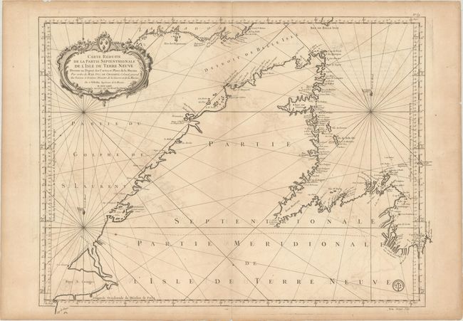
Subject: Newfoundland, Canada

Period: 1767 (dated)

Publication:

Color: Black & White

Size:
31.3 x 23.7 inches
79.5 x 60.2 cm
Download High Resolution Image
(or just click on image to launch the Zoom viewer)

This attractive sea chart focuses on the northern coastline of Newfoundland and extends to the far southern coast of Labrador. It provides excellent coastal detail including bays, offshore islands, shoals and anchorages. Rhumb lines radiate throughout the Gulf of St. Lawrence with magnetic variation indicated. Adorned by a decorative title cartouche with the seal of the Depot de la Marine at bottom right.

References:

Condition: B+

On watermarked paper with light offsetting, a few spots of foxing, and a paper flaw at top right. There is one tiny hole in a blank area caused by a paper imperfection and some minor edge tears confined to the blank margins.

Estimate: $275 - $350

Sold for: $200

Closed on 2/6/2019

Archived