Catalog Archive
Auction 170, Lot 711

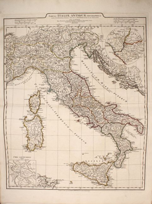
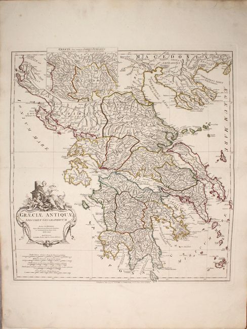
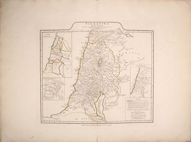
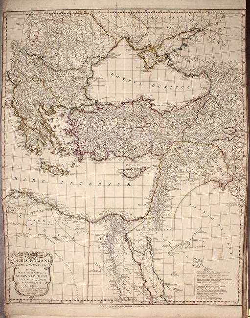
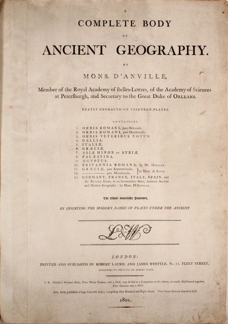
"A Complete Body of Ancient Geography", Laurie & Whittle

Subject: Atlases

Period: 1801 (published)

Publication:

Color: Hand Color

Size:
15.5 x 21.6 inches
39.4 x 54.9 cm
Download High Resolution Image
(or just click on image to launch the Zoom viewer)

This disbound atlas of the ancient world includes 13 copper engraved maps, 12 of which are double-page. Of particular interest are the two double-page maps of Orbis Romani which show the full extent of the Roman Empire. The maps cover the area from Ireland and England east to Greece, Turkey and the Arabian Penninsula and contain very good detail of towns, cities, rivers and topography. The complete list of maps include:

Orbis Romani, Pars Orientalis
Orbis Romani, Pars Occidentalis
Orbis Veteribus Notus
Gallia
Italiae
Graeciae
Asiae Minor et Syriae
Palaestina
Aegyptus
Brittania Romana
Graeciae, Pars Orientalis
Graeciae, Pars Meridionalis
Germany, France, Italy, Spain, and the British Isles, in an Intermediate State, between Ancient and Modern Geography

The maps were drawn by Guillaume Delisle and Jean Baptiste Bourguignon d'Anville. Published in London at 53 Fleet Street.

References:

Condition: B+

Overall dark impressions with original outline color. Maps are very good with faint offsetting and an occasional spot of foxing or small stain. The first three maps have been trimmed to the neatline as issued. Disbound.

Estimate: $400 - $500

Sold for: $425

Closed on 11/14/2018

Archived