Catalog Archive
Auction 170, Lot 710

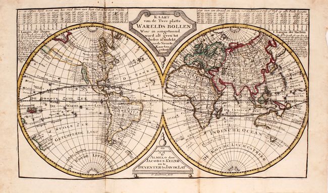
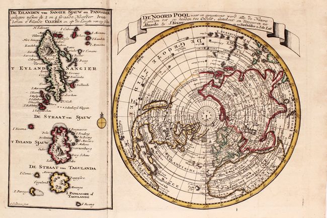
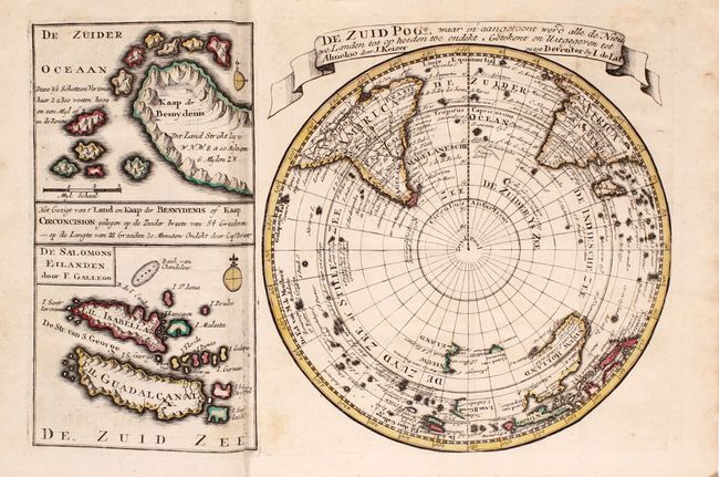
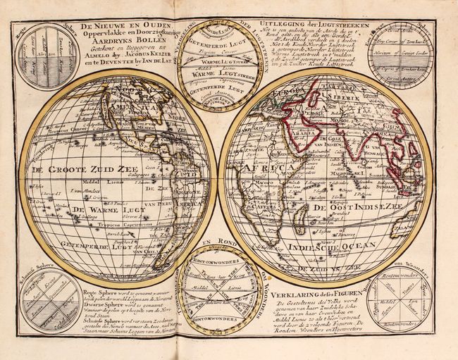
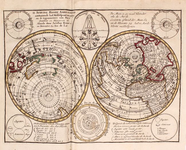
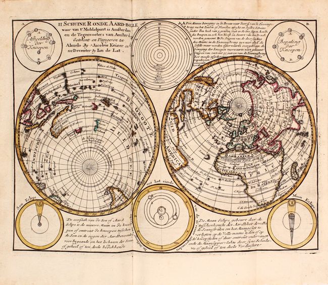
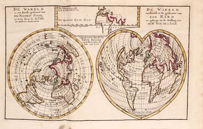
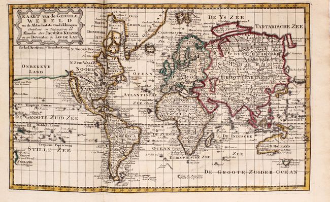
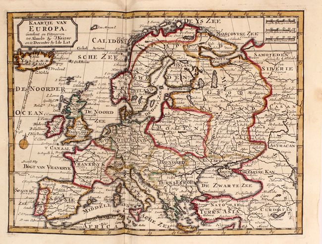
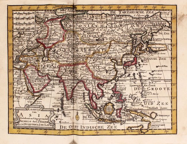
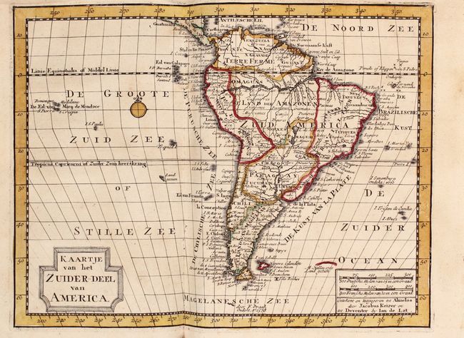
"[Atlas der Waereld Vol. II...]", Keizer/De Lat

Subject: Atlases

Period: 1747 (circa)

Publication:

Color: Hand Color

Size:
5.3 x 8.8 inches
13.5 x 22.4 cm
Download High Resolution Image
(or just click on image to launch the Zoom viewer)

This small Dutch atlas includes 41 maps, many of which are folding. Included are: 6 world maps, 2 polar maps, Europe, Asia, South America, and 30 regional maps of Europe, with a primary focus on the Low Countries. Maps of the continents of Africa and North America are not included. The world maps are mostly double-hemisphere, although one is a cordiform and another is a Mercator's projection. The world maps feature the island of California with a narrow isthmus near the center of its eastern coast and an indented northern coastline (although on one of the maps California appears to connect to the mainland). The entire eastern seaboard of North America is labeled Virginie and the Missouri River extends nearly to the Pacific Ocean. Also depicted on the world maps is a faint coastline labeled, Onbekend Land that nearly connects Asia and North America. Australia, New Guinea, and New Zealand are only partially delineated. Included in this volume are two folding tables of distances between cities in the Low Countries and Germany. Octavo, hardbound in quarter leather with plain boards. There are raised bands, gilt tooling, and a black leather label with gilt titling on the spine.

References:

Condition: B+

The maps are all in contemporary outline color with light soiling, and a number of the maps have light damp stains. The map of the Low Countries has a large chip confined to the left blank margin, and the map of Switzerland and one of the folding tables are loose. The covers are worn with bumped and soiled corners. The spine is in very good condition with a few small cracks.

Estimate: $1,600 - $2,000

Unsold

Closed on 11/14/2018

Archived