Catalog Archive
Auction 170, Lot 663

"Carte de l'Afrique", Brue, Adrien Hubert
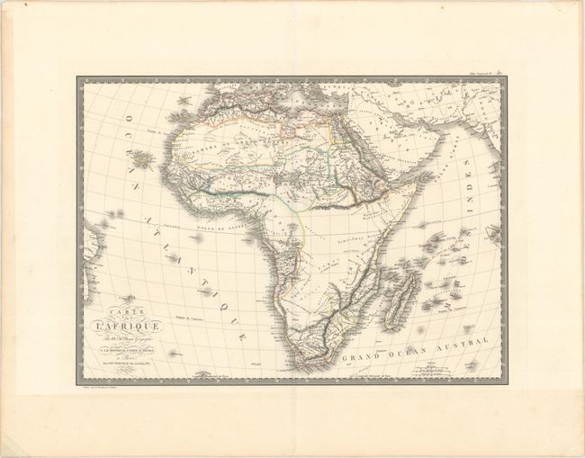
Subject: Africa

Period: 1820 (dated)

Publication: Atlas Universel

Color: Hand Color

Size:
19.9 x 14.3 inches
50.5 x 36.3 cm
Download High Resolution Image
(or just click on image to launch the Zoom viewer)

This handsome map of the continent extends to include the Arabian Peninsula and the islands in the Indian Ocean. There is a fair amount of geographical detail in the north and southeast. The vast center is left blank owing to the lack of actual exploration during this period. The Nile appears to have its origin in a number of tributaries arising from an extensive mountain range labeled Monts Al-Quamar (Monts de la Lune). The south is filled with many geographical details, and the tribal regions are depicted more accurately than many other maps of this period. Surrounded by a bold keyboard-style border.

References:

Condition: A

Original outline color on a sheet with wide margins. There are a few tiny holes that are only visible when held up to light, marginal toning, and remnants of hinge tape on verso.

Estimate: $140 - $170

Sold for: $100

Closed on 11/14/2018

Archived