Catalog Archive
Auction 170, Lot 634

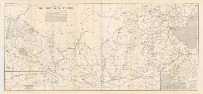
"Map of the Great Wall of China",

Subject: China

Period: 1920 (dated)

Publication:

Color: Black & White

Size:
38.8 x 17.5 inches
98.6 x 44.5 cm
Download High Resolution Image
(or just click on image to launch the Zoom viewer)

This detailed map was published by the American Geographical Society. It covers the region from the Bohai Gulf and Beijing west to Lanzhou and Qinghai Lake. The map shows the series of fortifications that compose the Great Wall along with the routes of Clapp, Fuller, Barnett, Estabrook, and Herald who explored this region in detail. Includes two inset maps: "The Palisade, an Extension of the Great Wall in Manchuria" and "Ancient Extension of the Great Wall in Northwestern Kansu." Signed in the plate by William A. Briesemeister.

Founded in 1851, the American Geographical Society was created with the specific intent to rescue the missing Arctic explorer Sir John Franklin, believing that he was still alive in the Arctic Ocean. Despite the unsuccessful search, the society continued on with its core work centered on explorations, surveys, and related publications.

References:

Condition: A

A dark impression on a clean sheet with a short binding tear at left that just enters the border that has been closed on verso with archival material.

Estimate: $100 - $130

Sold for: $75

Closed on 11/14/2018

Archived