Catalog Archive
Auction 170, Lot 601

"A Correct Map of the Ottoman Empire, Including All the Countries, Possess'd by, or Tributary to the Turks, in Europe, Asia & Africa...", Bowen, Thomas

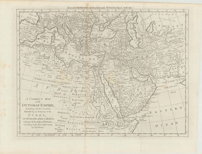
Subject: Mediterranean, Middle East & Northern Africa

Period: 1787 (circa)

Publication: Bankes's New System of Geography

Color: Black & White

Size:
16.4 x 12.3 inches
41.7 x 31.2 cm
Download High Resolution Image
(or just click on image to launch the Zoom viewer)

This map illustrates the expansive Ottoman Empire at the end of the eighteenth century, extending from Spain to Abissinia (Ethiopia) to Western India. Dozens of countries are outlined and named and mountains are shown in profile and shading. Both the Black and Caspian Seas are included, with a road network shown east of the Caspian Sea. First state.

References: McCorkle (18th C. Geography Books) #11 [5]; Shirley (BL Atlases) T.BANK-1a #5.

Condition: B+

Issued folding with light toning along the fold at left, some light spots, and minor offsetting.

Estimate: $160 - $190

Unsold

Closed on 11/14/2018

Archived