Catalog Archive
Auction 170, Lot 567

"Carte du Piemont et du Monferrat Dressee sur Plusieurs Cartes Manuscrites ou Imprimees Rectifiees par Quelques Observations", Delisle/Covens & Mortier

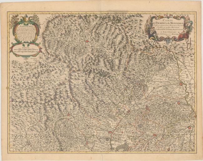
Subject: Northwestern Italy

Period: 1730 (published)

Publication:

Color: Hand Color

Size:
24.6 x 18.5 inches
62.5 x 47 cm
Download High Resolution Image
(or just click on image to launch the Zoom viewer)

Detailed map of northwestern Italy with Turin at bottom center. Fully engraved with mountains, rivers, fortifications, political boundaries, and hundreds of place names. It also depicts the roads, and most notably the "Grande Route des Romains." Two lovely cartouches embellish the map.

References:

Condition: B+

Original outline color with later color in the cartouches, two tiny holes north of Briancon, a few small stains, and an archivally repaired centerfold separation that enters 2.5" into map at bottom.

Estimate: $180 - $210

Unsold

Closed on 11/14/2018

Archived