Catalog Archive
Auction 170, Lot 557

"Achaiae Nova & Accurata Descriptio. Autore I. Laurenbergio", Jansson, Jan

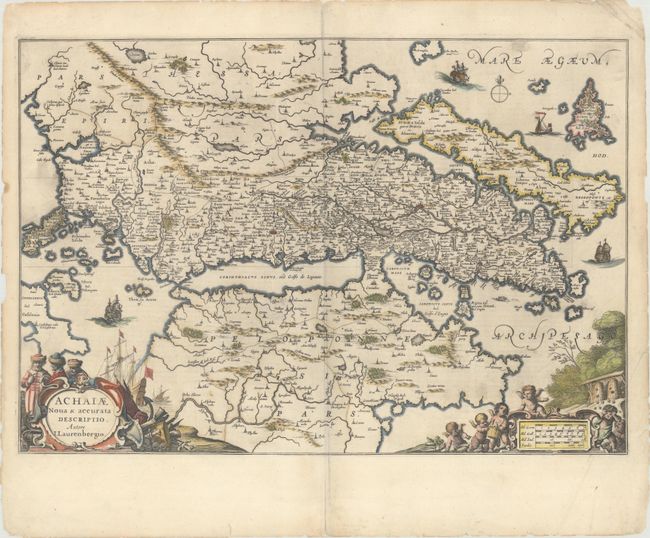
Subject: Southern Greece

Period: 1662 (circa)

Publication: Nouvel Atlas

Color: Hand Color

Size:
22.3 x 15.2 inches
56.6 x 38.6 cm
Download High Resolution Image
(or just click on image to launch the Zoom viewer)

This decorative map centers on the Gulf of Corinth and extends from Thessaly to the Alfeios River in Peloponnese. It depicts numerous islands including Euboea, Skiros, Lefkada, and part of Kefalonia. There is excellent topographical detail and plenty of place names, especially along the southern part of the mainland. Athens, Thebes, Delphi, and Corinth are all identified. Four ships decorate the seas. The title cartouche features three figures in fur-trimmed hats and maritime and martial imagery. Several putti and an aqueduct structure adorn the distance scale cartouche. It was drawn after Johannes Laurenberg, who worked with the all major Dutch cartographic publishers of the period. French text on verso.

References: Van der Krogt (Vol I) #7835:1; Zacharakis #1281.

Condition: B+

A nice impression with minor soiling and centerfold separations at top and bottom that have been closed on verso with archival materials. There are several chips and tiny tears along the edges of the sheet.

Estimate: $275 - $350

Sold for: $140

Closed on 11/14/2018

Archived