Catalog Archive
Auction 170, Lot 442

"Europam; sive Celticam Veterem, sic Describere Conabar Abrahamus Ortelius", Ortelius, Abraham
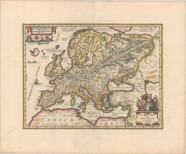
Subject: Europe

Period: 1741 (published)

Publication: Description Exacte de l'Univers, ou l'Ancienne Geographie Sacree et Profane

Color: Hand Color

Size:
18.3 x 13.8 inches
46.5 x 35.1 cm
Download High Resolution Image
(or just click on image to launch the Zoom viewer)

Splendid map of Europe in ancient times based on the Ortelius map of the same title. Title cartouche (which names Ortelius) is surmounted by a figure of Europa with flags, banners and a cornucopia. Several little cherubs cavorting with sea creatures surround the distance cartouche. The land is fully engraved with forests, mountains and rivers, and there are several ancient place names. A beautiful example of fine Dutch cartography. Blank verso, published in Pieter de Hondt's Description Exacte de l'Univers, ou l'Ancienne Geographie Sacree et Profane, a French edition of Georgius Hornius' Accuratissima Orbis Antiqui Delineatio, which included maps from Johannes Jansson's historical atlas and Abraham Ortelius' Parergon.

References: Van der Krogt (Vol. I) #1000H:1A.

Condition: A

A sharp impression on a bright sheet with wide margins, a couple of minor creases at left, two small spots of foxing in the Mediterranean at bottom center, and faint stains in the bottom blank margin.

Estimate: $550 - $700

Sold for: $300

Closed on 11/14/2018

Archived