Catalog Archive
Auction 170, Lot 431

"Pascaarte voor een Gedeelte der Canarise Eylanden, als Canaria, Tenerisa, Forteventura Etc.", Jacobsz, Jacob and Casper

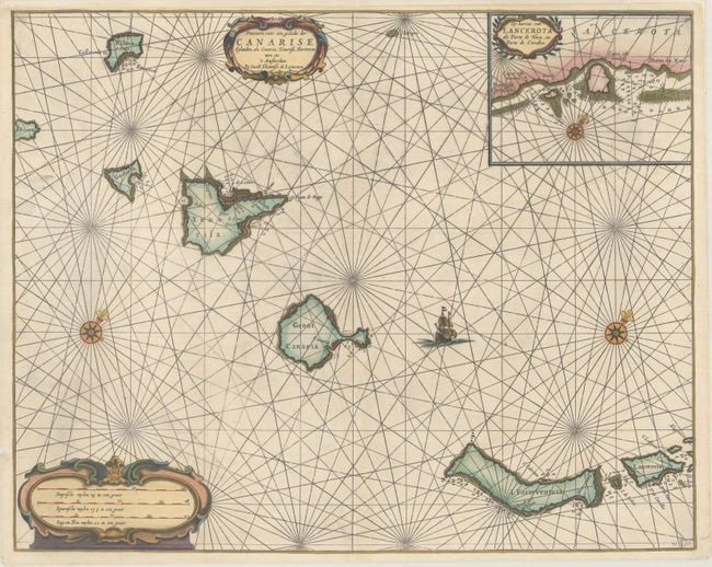
Subject: Canary Islands

Period: 1654 (circa)

Publication:

Color: Hand Color

Size:
21.1 x 16.9 inches
53.6 x 42.9 cm
Download High Resolution Image
(or just click on image to launch the Zoom viewer)

This rare, attractive sea chart depicts the Canary Islands with north oriented to the top right corner of the sheet. An inset at top right shows finer detail of Lanzarote Island from Porto de Cavallos to Porto de Naos. The chart includes a few place names on the islands as well as numerous soundings, shoals and anchorages. Adorned with two strapwork title cartouches.

References:

Condition: B+

An excellent, dark impression on a clean, bright sheet. There are some short tears along the edges of the sheet that have been archivally repaired, with a couple entering the map image less than 1".

Estimate: $400 - $500

Sold for: $300

Closed on 11/14/2018

Archived