Catalog Archive
Auction 170, Lot 35

"A Mercator Chart of the World", Bowen, Thomas
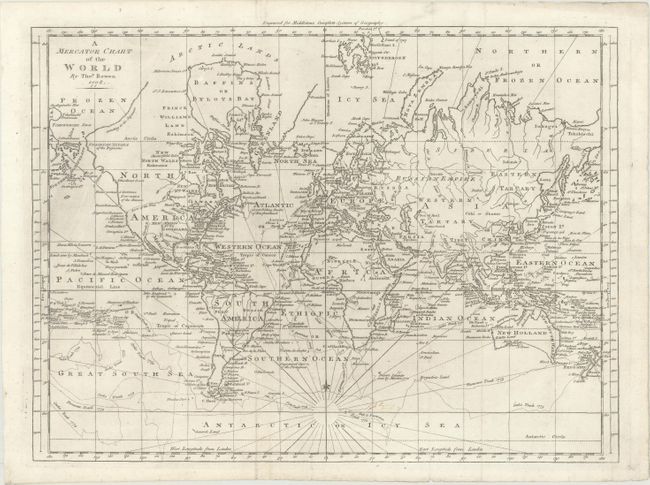
Subject: World

Period: 1778 (dated)

Publication: Middleton's Complete System of Geography

Color: Black & White

Size:
17.6 x 13.1 inches
44.7 x 33.3 cm
Download High Resolution Image
(or just click on image to launch the Zoom viewer)

This fascinating map of the world is crossed with Captain Cook's routes from his first and second voyages. Despite the 1778 date beneath the title, the map only tracks Cook's explorations through 1775. Since the cartography predates his third voyage, Alaska (here called Stachtan Nitada of the Russians) has a stubby, unusual shape, with a note indicating that its northwest border is "according to the Japanese." There are references to the Northwest Passage, including a note down the coast that refers to Fonte's pretended Entrance, with Fuca's Entrance farther south. The map also features a conjectural River of the West. Another note on the northwest coast of North America mentions Fou-sang, a mythical Chinese colony allegedly established in the 5th century. The states are identified east of the Mississippi, while the western frontier is divided into Louisiana and New Mexico. Tiny islands fill the Pacific Ocean. New Zealand is fully formed, while Tasmania is still attached to Australia. The fictitious Company's Land appears as a fragment of coastline to the north of Japan.

References:

Condition: A

A nice impression issued folding, now flat, with minor printer's ink residue and a manuscript notation in the Antarctic region.

Estimate: $400 - $475

Sold for: $300

Closed on 11/14/2018

Archived