Catalog Archive
Auction 170, Lot 323

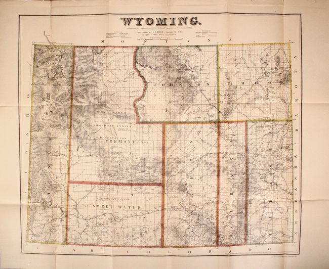
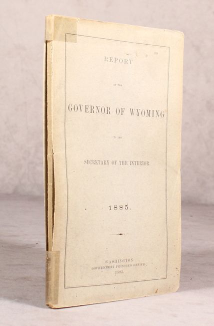
"Wyoming [bound in] Report of the Governor of Wyoming to the Secretary of the Interior", Holt, G.L.

Subject: Wyoming

Period: 1883 (dated)

Publication:

Color: Hand Color

Size:
23.9 x 20.4 inches
60.7 x 51.8 cm
Download High Resolution Image
(or just click on image to launch the Zoom viewer)

This uncommon map was originally published in Cheyenne, Wyoming. First issued seven years before statehood, it delineates only eight counties. Topography and hydrology are well developed, shows Yellowstone National Park, Shoshone Indian Reservation, towns, railroads, telegraph lines, common roads, and the areas containing coal and gypsum. In 1883 the cattle industry comprised 90% of all commerce, but the brutal winter of 1886-87 dealt a disastrous setback to this limited economy and contributed to delaying statehood. Blevins calls this "fantastic" map the most detailed and accurate of the period because of its scale and sources. Drawn by Frank & Fred Bond and printed by N. Peters, Photo-Lithographers, Washington, D.C. This example was published in the 1885 Report of the Governor of Wyoming to the Secretary of the Interior.

References: Blevins #426.

Condition: B+

The map has fold separations at the top and bottom of the left fold and a short binding tear at left that have all been closed on verso with archival tape. Both the map and the text are lightly toned. Wrappers have light wear with tape reinforcements on the spine.

Estimate: $350 - $425

Sold for: $650

Closed on 11/14/2018

Archived