Catalog Archive
Auction 170, Lot 263

NO RESERVE

"Indiana", Burr/Illman
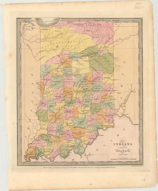
Subject: Indiana

Period: 1833 (dated)

Publication: A New Universal Atlas

Color: Hand Color

Size:
10.5 x 12.3 inches
26.7 x 31.2 cm
Download High Resolution Image
(or just click on image to launch the Zoom viewer)

A fine map that shows the Pottawatomies and Miami Indian regions occupying the north part of the state. The National Road is clearly identified. The map delineates roads, towns, villages and settlements, ports, watershed and more. Burr was appointed to be topographer to the U.S. Post Office Department in 1832 and was unable to complete the maps for the atlas. Thomas Illman assumed responsibility to complete this atlas, publishing it in 1835 using the New York firm of D.S. Stone. The imprint of Illman & Pilbrow is below the neatline.

References:

Condition: A

Original color with a few spots of foxing confined to the blank margins.

Estimate: $90 - $110

Sold for: $75

Closed on 11/14/2018

Archived