Catalog Archive
Auction 170, Lot 244

"[Lot of 3] Connecticut [and] Connecticut [and] Connecticut",

Subject: Connecticut

Period: 1823-42 (circa)

Publication:

Color:

Size:
See Description
Download High Resolution Image
(or just click on image to launch the Zoom viewer)
This lot features three atlas maps of the state from the first half of the 19th century:

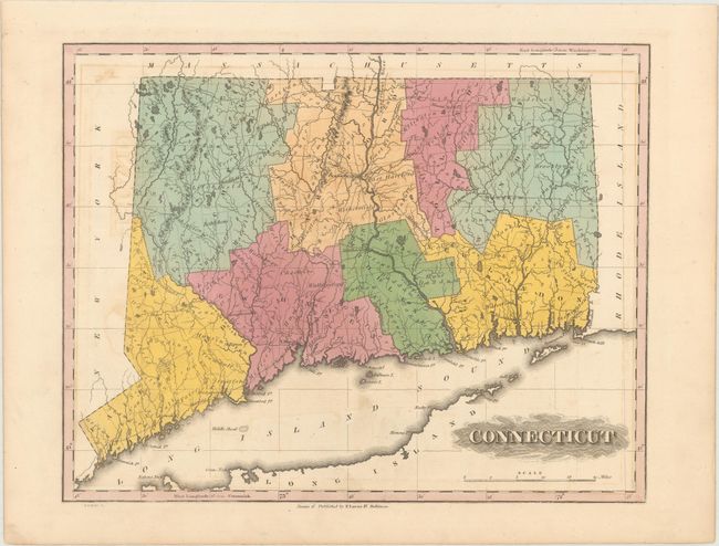
A. Connecticut, by Fielding Lucas Jr., from General Atlas, circa 1823, hand color (11.9 x 9.4"). This uncommon, early map of Connecticut shows towns and cities, roads, and some topographical detail. Engraved by B.T. Welch. Lucas' General Atlas is known as one of the finest general atlases produced in the U.S. at the time, due to the high quality paper, superior engraving quality, and attractive coloring style. Condition: Light offsetting. (B+)

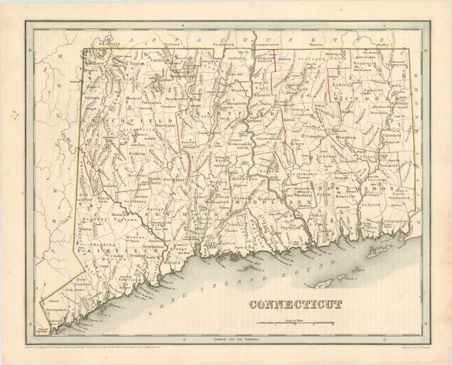
B. Connecticut, by T.G. Bradford, dated 1838, hand color (14.1 x 11.3"). Issued approximately 15 years after the Lucas example, this map shows additional towns and settlements, the Farmington Canal, and an early, unnamed railroad from Hartford to New Haven. Condition: Faint offsetting from an opposing page of text and minor foxing mostly in the blank margins. (B+)

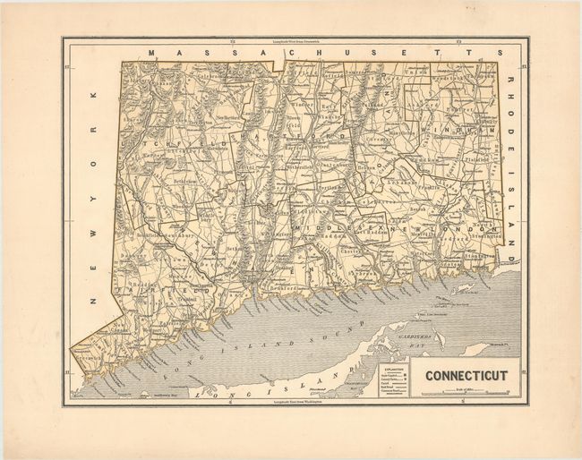
C. Connecticut, by Sidney E. Morse and Samuel Breese, from Cerographic Atlas of the United States, circa 1842, printed color (13.8 x 11.0"). A detailed map of the state showing roads, railroads, and canals. Topography is well depicted. An early example of the cerographic (wax) engraving process. Condition: Near fine. (A)

References:

Condition:

See description above.

Estimate: $200 - $230

Sold for: $120

Closed on 11/14/2018

Archived