Catalog Archive
Auction 170, Lot 208

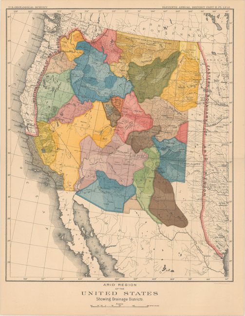
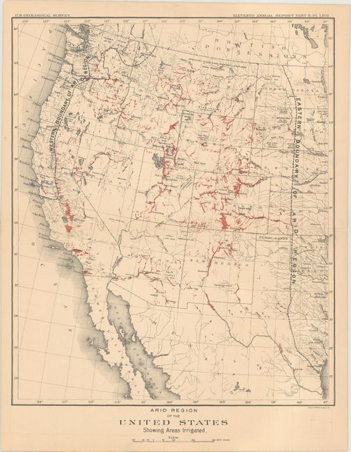
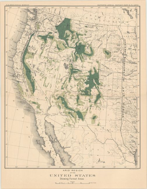
"[Lot of 3] Arid Region of the United States Showing Drainage Districts [and] ... Showing Areas Irrigated [and] ... Showing Forest Areas", U.S. Geological Survey (USGS)

Subject: Western United States

Period: 1891 (circa)

Publication: Eleventh Annual Report Part II

Color: Printed Color

Size:
10.6 x 12.7 inches
26.9 x 32.3 cm
Download High Resolution Image
(or just click on image to launch the Zoom viewer)

These three colorful maps depict the "arid region" in the West. Because of the overall shortage of water and the region's uneven topography, John Wesley Powell proposed organizing the development of the West along drainage districts (first map). This map was the basis of a fascinating article by Susan Schulten in the New Republic (June 2014) entitled "This 19th Century Map Could Have Transformed the West: Too Bad Congress Didn't Listen." Schulten writes: "The map is so beautifully and colorfully executed that its message could easily be lost, but Powell was deadly serious about his proposal. The arid west, he insisted, ought to be organized not by the logic of the grid or existing state boundaries, but by the far more important and influential fact of watersheds. All decisions about settlement and politics must flow from these units; everything else was secondary.” Click here to read the full article.

Accompanying the drainage map are corresponding maps showing irrigated lands and forested lands within this arid region.

References:

Condition: B+

Nice impressions with pleasant light toning.

Estimate: $180 - $220

Sold for: $140

Closed on 11/14/2018

Archived