Catalog Archive
Auction 170, Lot 166

"United States", Mitchell, Samuel Augustus
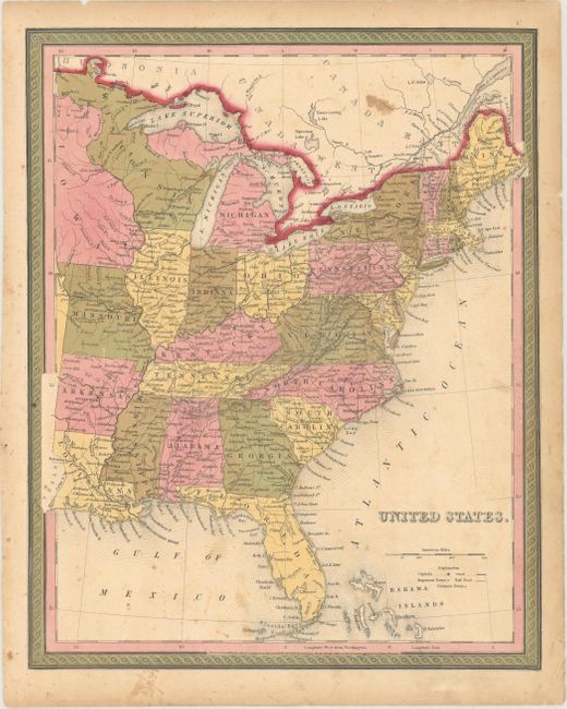
Subject: Eastern United States

Period: 1846 (dated)

Publication: New Universal Atlas

Color: Hand Color

Size:
12.6 x 15.8 inches
32 x 40.1 cm
Download High Resolution Image
(or just click on image to launch the Zoom viewer)

This atlas map of the eastern United States extends west of the Mississippi, all the way to the Texas-Louisiana border. It shows towns and cities, canals, and railroads. Wisconsin and Iowa are both oversized, taking up the area of present-day Minnesota. The map was registered by H.N. Burroughs in 1846 and was published by Mitchell the same year. It was issued in the first edition of the New Universal Atlas credited to Mitchell alone. Mitchell obtained Tanner's entire business and the production facilities and plates for Tanner's New Universal Atlas. He first printed it under his name in 1846, retaining the Tanner's copyright notice on most of the maps. A second 1846 edition was then published using the imprint H.N. Burroughs. Nothing is known about Burroughs, but Ristow surmises he may have been an employee or associate of Mitchell's.

References: Ristow p. 311.

Condition: B+

Original color with light soiling and scattered foxing. There is light toning along the sheet's edges.

Estimate: $100 - $130

Sold for: $75

Closed on 11/14/2018

Archived