Catalog Archive
Auction 170, Lot 122

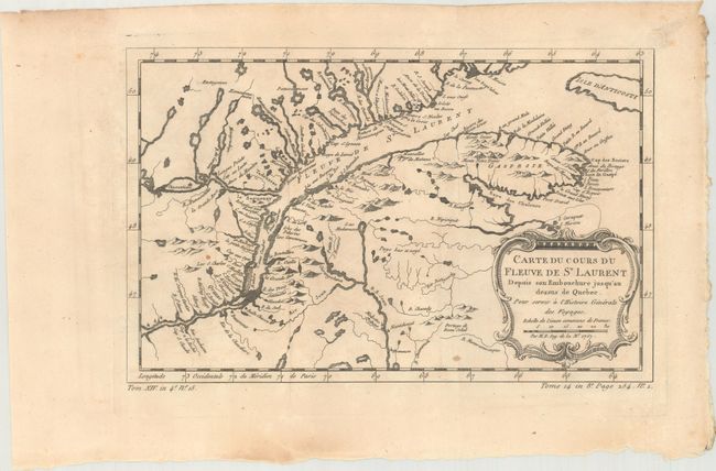
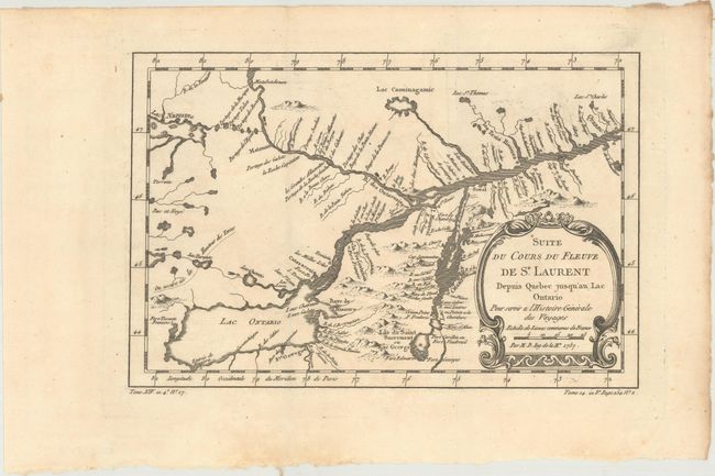
"[Lot of 2] Carte du Cours du Fleuve de St Laurent... [and] Suite du Cours du Fleuve de St. Laurent Depuis Quebec...", Bellin, Jacques Nicolas

Subject: St. Lawrence River, Canada

Period: 1757 (dated)

Publication:

Color: Black & White

Size:
See Description
Download High Resolution Image
(or just click on image to launch the Zoom viewer)

A. Carte du Cours du Fleuve de St Laurent Depuis son Embouchure Jusqu'au Dessus de Quebec. Pour Servir a l'Histoire Generale des Voyages, (11.8 x 7.4"). Nice example of the second state of this copper engraved map, published by La Harpe circa 1780-86. The map details the course of the St. Lawrence River from Anticosti Island and the mouth west to beyond Quebec. It details many rocks and shoals in the river with numerous villages and forts located along the shore. Decorated with a rococo-style cartouche that includes a distance scale.

B. Suite du Cours du Fleuve de St. Laurent Depuis Quebec Jusqu'au Lac Ontario..., (11.1 x 7.4"). A detailed map of the region between Lake Ontario and the St. Lawrence River to Quebec. The map extends to Lake Champlain and Lake George, as well as Lake Nepessing in Michigan, with numerous portages named on the interconnecting waterways. Locates Montreal. There are a number of forts named, including Ft. Toronto, Ft. Oswego, and Ft. Georges.

References: Kershaw #627 & #632.

Condition: B+

Issued folding with light toning and a hint of offsetting.

Estimate: $140 - $170

Sold for: $75

Closed on 11/14/2018

Archived