Catalog Archive
Auction 169, Lot 793

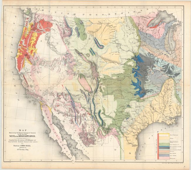
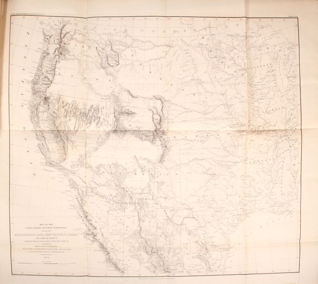
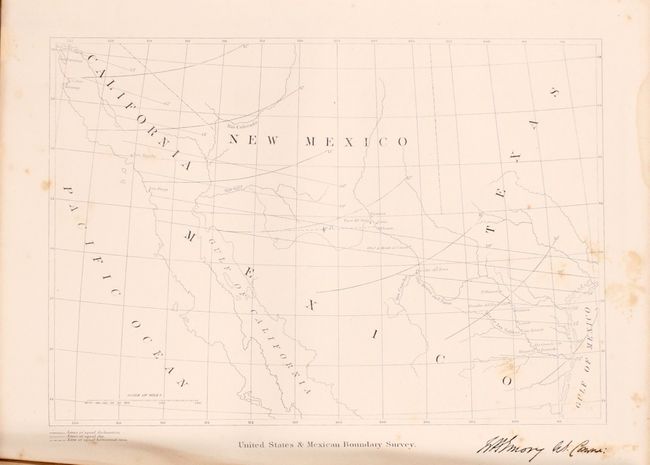
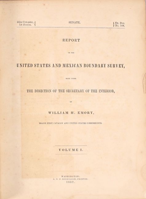
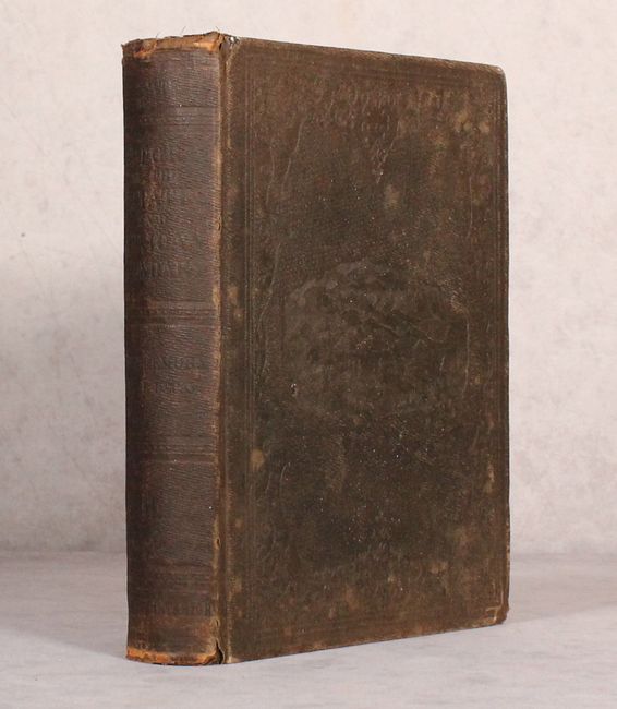
Landmark Report on the American Southwest

"[2 Folding Maps with Report] Report on the United States and Mexican Boundary Survey, Made Under the Direction of the Secretary of the Interior ... Volume I", Emory, William Hemsley

Subject: Exploration & Surveys, Mexican Boundary

Period: 1857 (published)

Publication: Ex. Doc. No. 108, 34th Cong, 1st Sess.

Color: Hand Color

Size:
9.2 x 11.7 inches
23.4 x 29.7 cm
Download High Resolution Image
(or just click on image to launch the Zoom viewer)

After the Treaty of Guadeloupe, Hidalgo (1848), which ended the war with Mexico, it was necessary to establish a boundary acceptable to both Mexico and the United States. The Mexican Boundary Survey was the result and it provided Americans with the first detailed description of their newly acquired territory. The survey added greatly to an understanding of geography, topography, geology, botany and ethnology.

This is the complete Senate version of Volume 1 which is composed of two parts: Part I (258 pp. with 26 preliminary pages) and Part II (174 pp. with 8 preliminary pages). There are numerous illustrations including 20 woodcuts, 12 chromolithographic plates, 63 steel engraved plates, 3 copper engraved sections and the following 2 large folding maps:

Map of the United States and Their Territories Between the Mississippi and the Pacific Ocean and Part of Mexico (22.8 x 20.3"). This map is one of the foundation maps for the western United States and represents the culmination of fifty years of government explorations. Starting with Lewis and Clark, there were numerous official and unofficial surveys and explorations, all adding to the pool of knowledge presented here. While large sections are still labeled "unexplored territory," Emory fitted these fragments together with the information gathered during his surveys into a reasonably correct cartographic picture of the West.

Map Illustrating the General Geological Features of the Country West of the Mississippi River (23.0 x 20.0"). This is one of the first geological maps of the western United States. It illustrates the many mineral resources that helped spur westward migration and expansion. The legend uses color to identify eleven geological types. The map is also filled with terrific detail of mountains, watersheds, cities, and roads. It covers the country from the Ohio River Valley to the Pacific and extends to include the states of Sonora and Chihuahua in Mexico. The political divisions include the large western territories of Washington, Oregon, Utah, New Mexico, Nebraska, and Kansas.

This report is one of the most sought-after early southwestern Government reports because of its exceptional illustrations as well as geographic and cultural information. Hardbound in brown cloth with blind stamped illustrations on both covers.

References: Wheat (TMW) #916 & #922; Marcou & Marcou #52; Blevins Wyoming #76.

Condition: B+

Condition code is for the two maps which are generally clean and bright with a bit of minor foxing. The colorful geological map has a 7.5" edge tear at left and a tiny hole at center that have both been repaired on verso with archival materials. Text and plates are good to very good with scattered foxing on the plates and light to occasionally moderate toning. The hinges are starting, the covers are worn, and the edges are bumped.

Estimate: $700 - $850

Sold for: $500

Closed on 9/12/2018

Archived