"Geographische Oefeningen; of Leerboek der Aardrijkskunde, met XX Genommerde Kaarten...",
Subject: Geography Books
Period: 1826 (published)
Publication:
Color: Hand Color
Size:
4.2 x 6.6 inches
10.7 x 16.8 cm
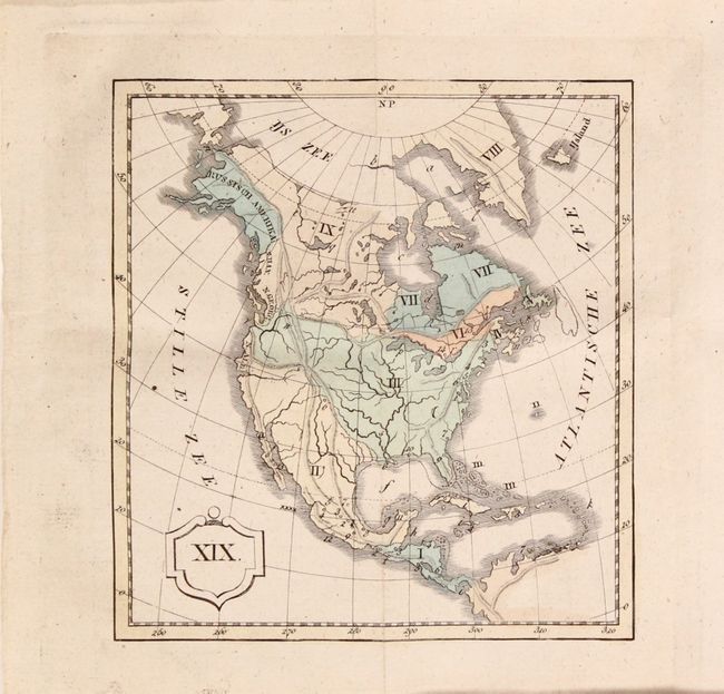
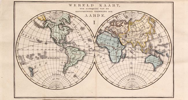
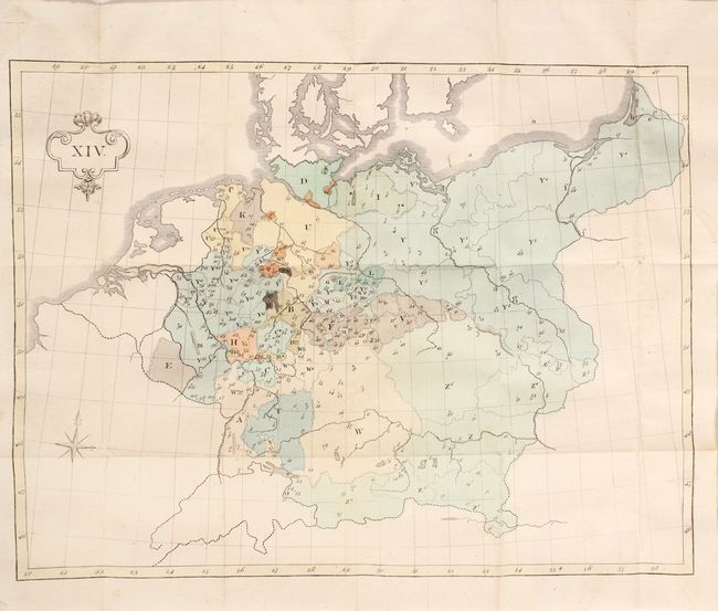
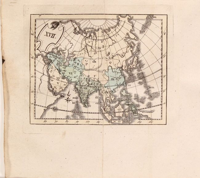
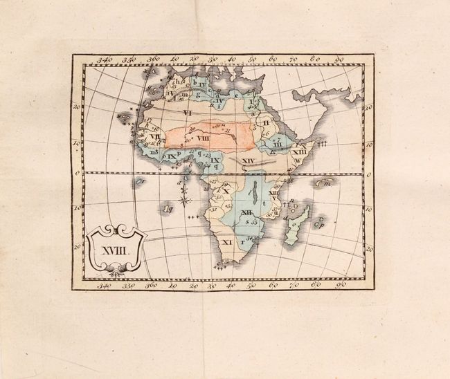
This student geography book by P.J. Prinsen includes 23 folding maps with extensive explanatory text. The book is divided into lessons by continent and country, with each chapter ending with review questions. Each map includes major topographical details and political boundaries. Nomenclature on the maps has been omitted and replaced by roman numerals that force the student to identify important places on the map. The maps include the world, climatic zones, North America, South America, Asia, Africa, Oceania, Europe, and 15 maps of countries or regions in Europe. The map of North America shows exaggerated mountain ranges, with the Rocky Mountains extending from Alaska all the way through Mexico, the Appalachian Mountains extending from Maine to Florida, and another mountain range extending along the west coast from Washington State to the tip of Baja California. Third edition, published by Johannes van der Hey and Son. 335 pp. Blue paper covers.
References:
Condition: A
The maps are all in full contemporary color, and overall clean and bright. The map of the Low countries has some soiling and a long fold separation that has been closed on verso with tape. The map of central Europe has a 2" binding tear that has been closed on verso with archival tape. The text is also bright with minor occasional soiling and light soiling along the fore-edges, which are uncut. The paper covers are worn with several tears and chips along the edges.