Catalog Archive
Auction 169, Lot 783

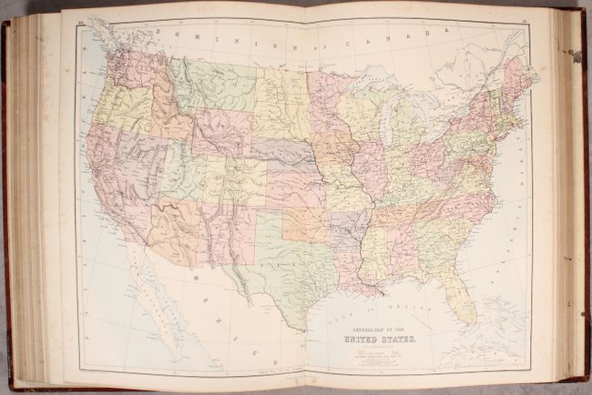
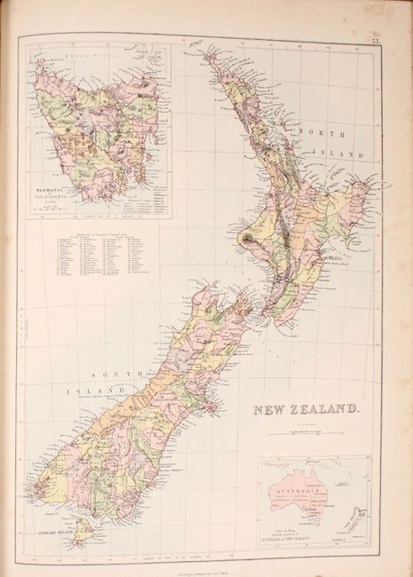
Includes a Depiction of Pembina Territory (North Dakota)

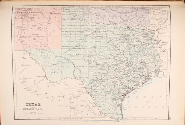
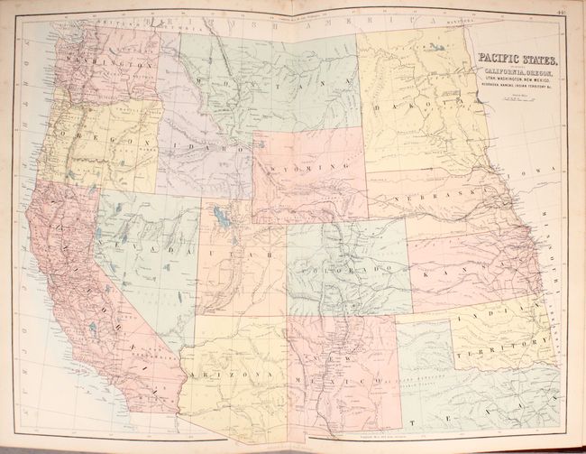
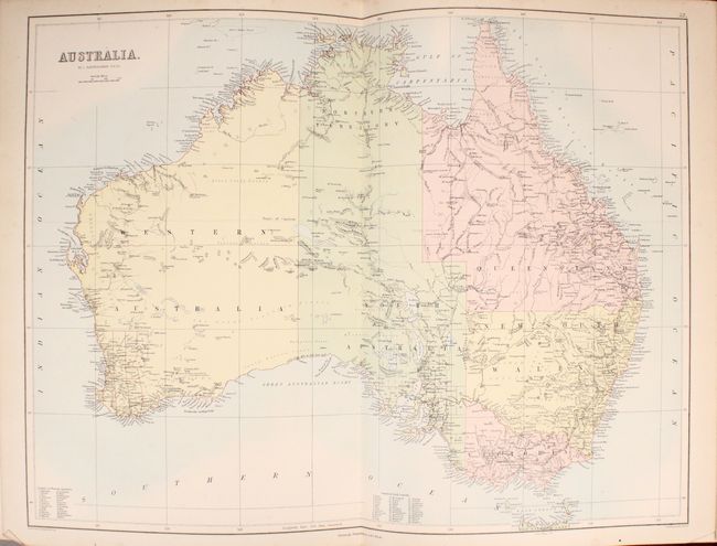
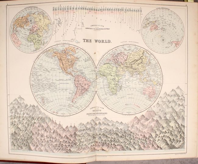
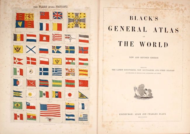
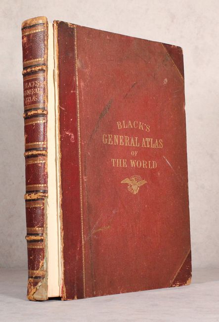
"Black's General Atlas of the World - New and Revised Edition Embracing the Latest Discoveries, New Boundaries, and Other Changes Accompanied by Introductory Letterpress and Index", Black, Adam & Charles

Subject: Atlases

Period: 1882 (published)

Publication:

Color: Printed Color

Size:
13.8 x 18.3 inches
35.1 x 46.5 cm
Download High Resolution Image
(or just click on image to launch the Zoom viewer)

This world atlas is complete with 67 maps by John Bartholomew and an engraving of flags of nations around the world. The maps include: 4 world maps, celestial hemispheres, solar system, 15 maps of Europe, 9 maps of Asia, 4 maps of Africa, 23 maps of North America, 4 maps of South America, 5 maps of Australia and the South Pacific, and 1 map of the ancient world. The world map in hemispheres features comparative views of the rivers and mountains around the world. The United States map shows that most territorial boundaries have been firmly established, however, it features the short-lived Pembina Territory which would become North Dakota seven years later. The publisher likely jumped on a report that Dakota Territory was splitting in two, and Pembina was a name many residents preferred. The atlas also features nice maps of South Pacific including Australia, New South Wales, Victoria, New Zealand, and Oceania. Unlike other atlases of the time, the maps have blank versos and have been tipped into the binding. Includes an impressive 70-page index and 32 pages of introductory text with information on geography, population, agriculture, and history of various parts of the world. Large foilo. Quarter maroon leather with tips over maroon cloth covered boards with gilt title on front cover; raised bands, gilt tooling and gilt title on spine. All edges gilt (A.E.G.).

References:

Condition: B+

The maps are very good to mostly near fine with occasional foxing along the gutter and top edge of the sheets. There is moderate foxing on the frontispiece (flags), title page, and list of maps. Front cover has separated from the text block. Covers and spine are moderately worn with bumped edges and a chip at the tail of the spine.

Estimate: $450 - $550

Sold for: $250

Closed on 9/12/2018

Archived