Catalog Archive
Auction 169, Lot 716

"Africa Vetus", Weigel, Christopher
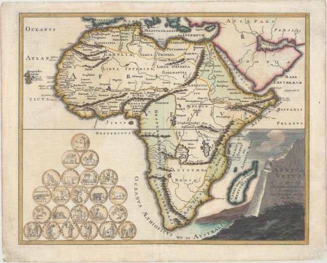
Subject: Africa

Period: 1724 (circa)

Publication: Descriptio Orbis Antiqui

Color: Hand Color

Size:
16.1 x 12.9 inches
40.9 x 32.8 cm
Download High Resolution Image
(or just click on image to launch the Zoom viewer)

This striking map of ancient Africa depicts the source of the Nile River as twin lakes just north of the Mountains of the Moon. Information is limited to major rivers, mountain ranges, and the names of regions. The map is adorned with 23 medallions related to Africa and the title is featured on a large rock.

Christoph Weigel (1654-1725) was a goldsmith, engraver, illustrator, and publisher in Nuremberg, Germany, where he produced many maps and atlases of both the ancient and the modern world. Of particular interest is the fact that all his maps were hand-colored immediately after they were printed in his publishing house. The majority of early map publishers issued their maps in black and white with later coloring added by outside artists and colorists.

References: Shirley (BL Atlases) T.WEIG-2a #38.

Condition: B+

Original color in the map with later color in the cartouche, on paper with a watermark of the Dutch Republic coat of arms and a short, professionally repaired centerfold separation at bottom. There are large, faint damp stains yet the paper is still in excellent condition.

Estimate: $400 - $475

Sold for: $400

Closed on 9/12/2018

Archived