Catalog Archive
Auction 169, Lot 537
"Basiliensis Territorii Descriptio Nova, Auctore Sebastiano Munstero [on sheet with] Circulus sive Liga Sueviae, Vulgo Schwabische Kraiss", Ortelius, Abraham
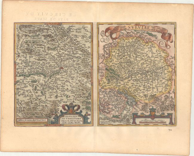
Subject: Switzerland & Southern Germany
Period: 1572 (dated)
Publication: Theatrum Orbis Terrarum
Color: Hand Color
Size:
19.7 x 12.6 inches
50 x 32 cm
Download High Resolution Image
(or just click on image to launch the Zoom viewer)
(or just click on image to launch the Zoom viewer)