Catalog Archive
Auction 169, Lot 439

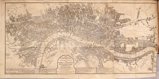
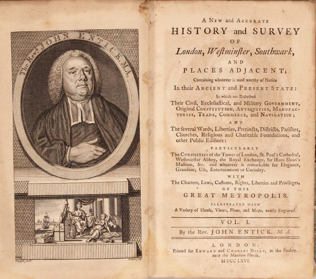
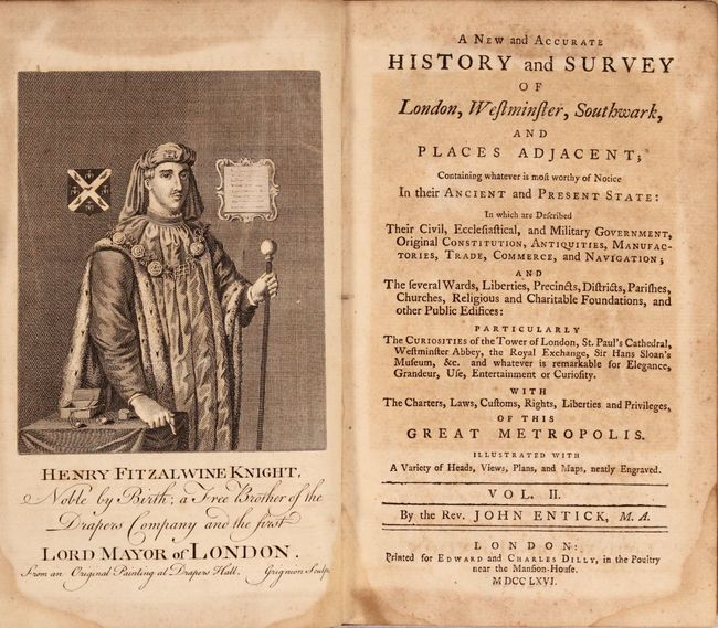
"The London Guide, or, A Pocket Plan of the Cities of London, & Westminster, and Borough of Southwark... [bound in] [4 Volumes] A New and Accurate History and Survey of London, Westminster, Southwark, and Places Adjacent...", Entick, John
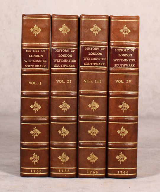
Subject: London, England

Period: 1766 (published)

Publication:

Color: Black & White

Size:
22.9 x 10.6 inches
58.2 x 26.9 cm
Download High Resolution Image
(or just click on image to launch the Zoom viewer)

This meticulously engraved plan of the city extends from Bunhill Fields south to Lambeth, and from Hyde Park east to Limehouse. The plan examines the full extent of the streets, buildings, parks, bridges and docks of 18th century London with several tables at bottom showing the rates of hackney coaches (horse carriages for hire) as well as water ferries. According to Howgego, this is the first of four editions of this map, which is bound into John Entick's A New and Accurate History and Survey of London, Westminster, Southwark, and Places Adjacent.... Entick's work consists of four octavo volumes, each with a portrait frontispiece, and a total of 1,929 pages of text.

References: Howgego #141.

Condition: B+

The map is good with light toning and offsetting, and a 1" binding tear at right that has been repaired on verso with old tape. Text is lightly toned with scattered foxing and occasional dampstains in the bottom blank margin. New bindings are pristine.

Estimate: $550 - $700

Sold for: $400

Closed on 9/12/2018

Archived