Catalog Archive
Auction 169, Lot 286

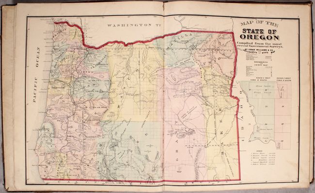
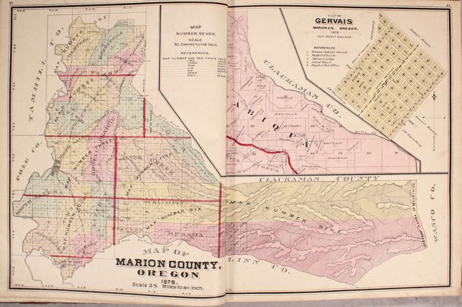
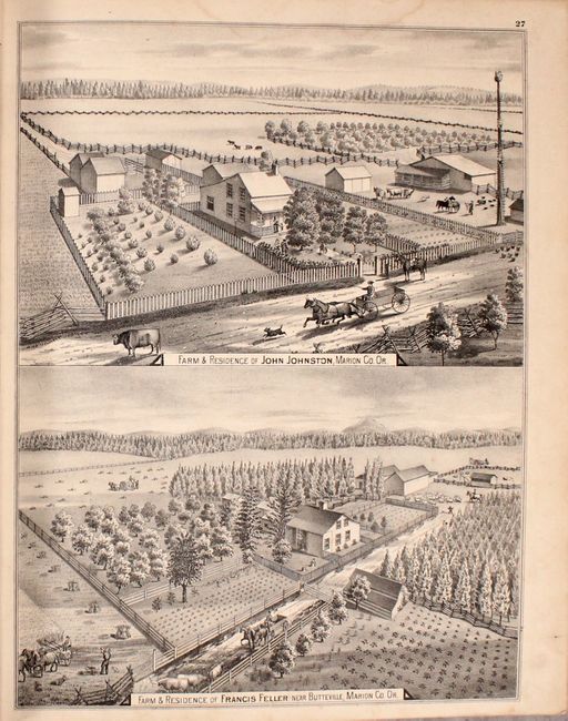
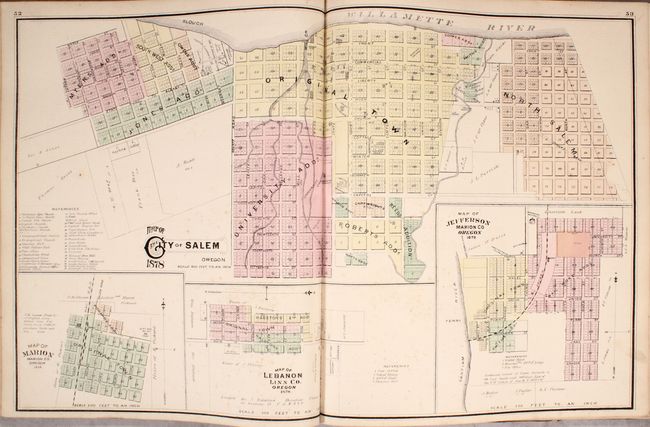
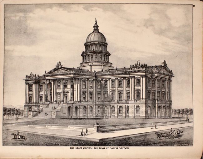
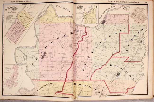
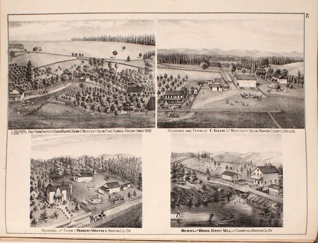
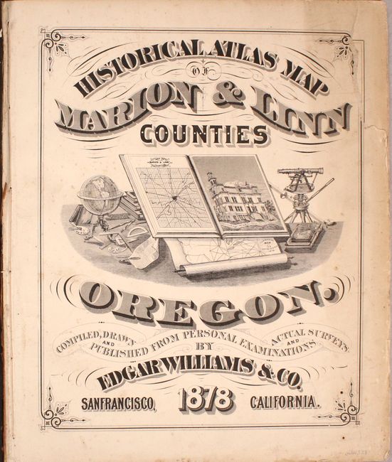
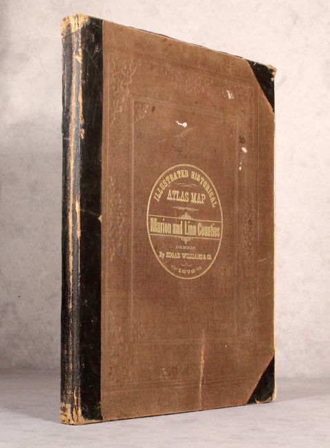
The First County Atlas for Oregon

"Historical Atlas Map of Marion & Linn Counties Oregon...",

Subject: Oregon

Period: 1878 (published)

Publication:

Color: Hand Color

Size:
14.5 x 17.6 inches
36.8 x 44.7 cm
Download High Resolution Image
(or just click on image to launch the Zoom viewer)

This attractive and informative atlas was produced by Edgar Williams & Co. in San Francisco, and was the first county atlas published for Oregon. It contains a total of 19 double-page maps, including a general map of the state as well as index maps for Marion and Linn counties. The remaining maps depict the various townships within the counties showing highly detailed land ownership, roads, railroads, creeks, rivers, and more. Also includes maps of the street-grid pattern of Salem and Albany among others. Augmenting the maps are numerous lithographic illustrations showing important residences, farms, public buildings, and more that give a wonderful snapshot of life at this time. A 17-page history of the counties provides additional context to the illustrations. Hardbound in black quarter leather with tips over tan cloth boards with gilt title on the front cover.

References:

Condition: B+

The maps are overall very good with light soiling and only very occasional foxing. The title page is chipped at top right with some loss of border. Boards are starting to separate from the text block. There is average shelf wear with an abrasion at the bottom of the front cover and small chips to the head and tail of the spine.

Estimate: $2,000 - $2,500

Unsold

Closed on 9/12/2018

Archived