Catalog Archive
Auction 169, Lot 263

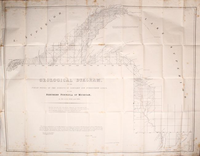
"Geological Diagram, of the Field Notes of the Surveys of Township and Subdivision Lines, in the Northern Peninsula of Michigan, in the Years 1844 and 1845 [in report]", General Land Office

Subject: Upper Michigan & Wisconsin

Period: 1846 (published)

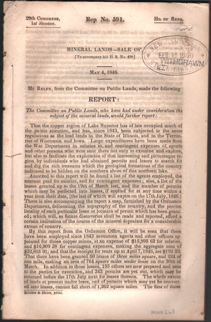
Publication: H.R. Doc. 591, 29th Congress, 1st Session

Color: Black & White

Size:
33.8 x 26.1 inches
85.9 x 66.3 cm
Download High Resolution Image
(or just click on image to launch the Zoom viewer)

This GLO map shows the surveying progress along the shores of Lake Superior from Green Bay north to the Keweenaw Peninsula. Overlaid on top of the townships are geological delineations including trap, sand, slate, granite, and conglomerate. Numerous copper veins are identified along the northern shore of the peninsula, with a note stating "Here Dr. Houghton was wrecked on the night of 15, Oct 1825." While this event actually occurred in 1845, the notation refers to the drowning of Douglass Houghton, the first state geologist of Michigan, who is often referred to as the "father of copper mining in the United States." Houghton was working on a federal survey of the area when his boat capsized during a storm in Lake Superior. A note below the map states that "The field notes of Townships 58 and 59 North of Range 29 West, and 58 N.R. 32 W were lost with Dr. Houghton, at the time of his wreck." The map is still bound into the 51 page congressional report of J.H Relfe concerning these mineral lands.

References:

Condition: B+

On a bright sheet with scattered foxing. Report text is also very good with a bit of toning and foxing.

Estimate: $140 - $170

Sold for: $100

Closed on 9/12/2018

Archived