Catalog Archive
Auction 169, Lot 231

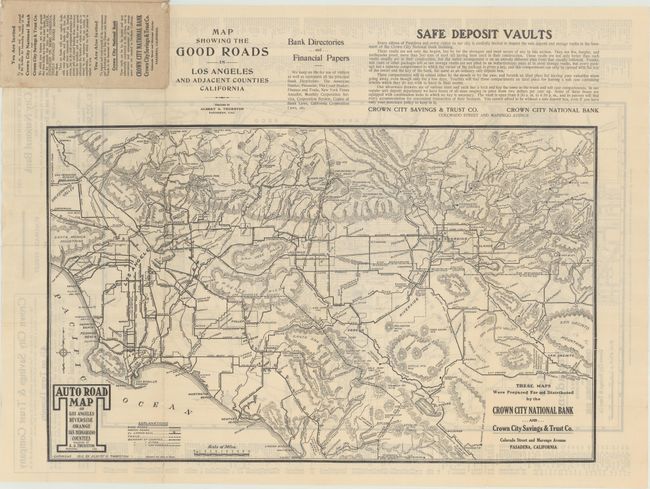
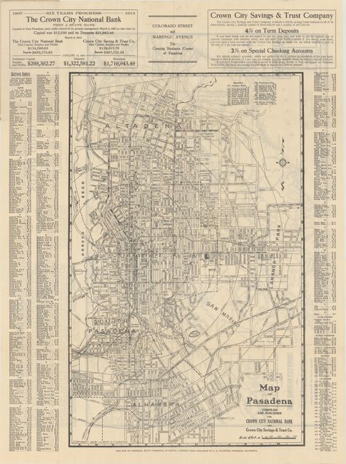
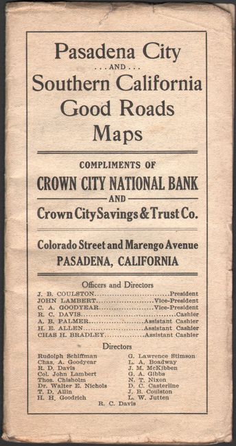
"Auto Road Map of Los Angeles Riverside Orange San Bernardino [on recto] Map of Pasadena", Thurston, Albert

Subject: Southern California

Period: 1913 (dated)

Publication:

Color: Black & White

Size:
23.8 x 14.8 inches
60.5 x 37.6 cm
Download High Resolution Image
(or just click on image to launch the Zoom viewer)

This promotional brochure contains two maps and was issued by the Crown City National Bank of Pasadena. The map on recto depicts southern California from San Jacinto and Big Bear west to Newport Beach, Los Angeles, and the San Fernando Valley. A key at bottom identifies good roads, wagon roads, trails, and the El Camino Real. The verso contains a map of the vicinity of Pasadena (14.4 x 22.7") showing the street grid pattern and concentric circles indicating distances from downtown. Surrounded by a street index and advertisements for the bank. Folds into paper wrappers. OCLC shows four copies of this map, but none are this 1913 edition.

References:

Condition: A

Maps are clean, bright, and near fine with a few tiny splits at fold intersections. Paper wrappers have light wear.

Estimate: $180 - $220

Sold for: $120

Closed on 9/12/2018

Archived