Catalog Archive
Auction 169, Lot 227

NO RESERVE

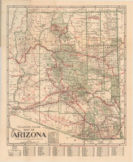
"Clason's Guide Map of Arizona", Clason Map Company
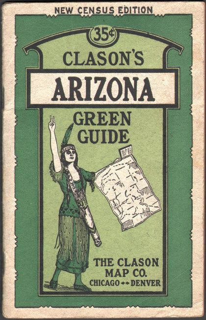
Subject: Arizona

Period: 1920 (circa)

Publication:

Color: Printed Color

Size:
15 x 17.6 inches
38.1 x 44.7 cm
Download High Resolution Image
(or just click on image to launch the Zoom viewer)

This folding pocket map is complete with descriptive booklet, "Clason's Arizona Green Guide" (4 x 6.3"). The map delineates early Automobile Roads and Main Automobile Roads via red overprinted lines of different sizes. The transportation network contains a remarkable number of roads and highways. The legend also locates the state capital (Phoenix), county lines, county seats, railroads, rail trunk lines, Indian reservations, and National Forests. The map shows Greenlee County, created from part of Graham County in 1909. Folds into paper covers with 32-page booklet "Showing all the Best Roads Clason's Arizona Green Guide…" which includes full-page city plans of Tucson and Phoenix. This scarce Clason issue is not dated but shows the Grand Canyon National Park (created 1919), but not the Navajo Bridge at Lee's Ferry which was opened in 1929.

References:

Condition: B+

Map has faint color offsetting. Text is toned, and the booklet's covers are slightly soiled and worn.

Estimate: $60 - $80

Sold for: $36

Closed on 9/12/2018

Archived