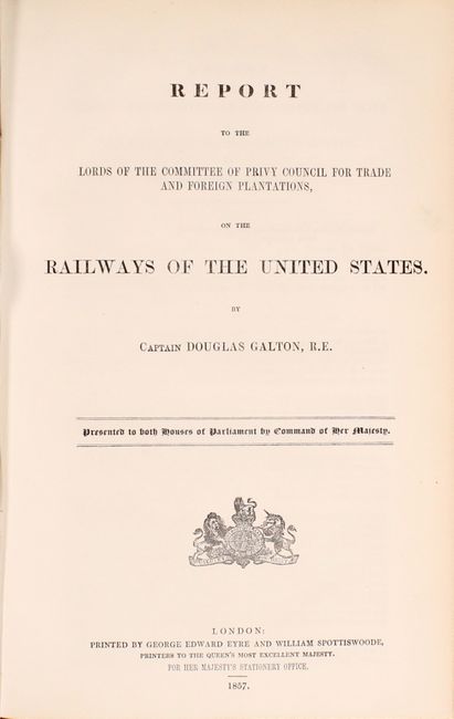
Rare British Report on American Railroads with Large Map
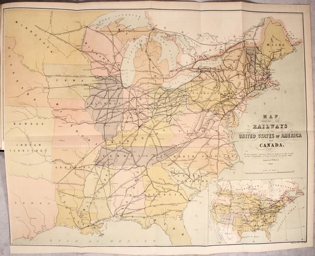
"Map Shewing the Railways in the United States of America and Canada... [bound in] Report to the Lords of the Committee of Privy Council for Trade and Foreign Plantations...",
Subject: Eastern United States, Railroads
Period: 1857 (published)
Publication:
Color: Hand Color
Size:
26.6 x 20.6 inches
67.6 x 52.3 cm
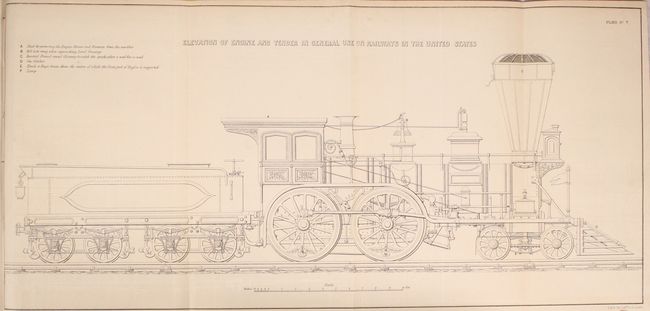
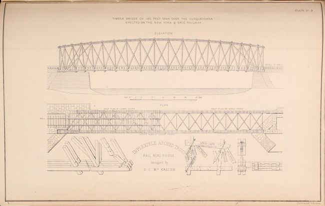
British Captain Douglas Galton of the Royal Engineers visited the United States in 1856 to study the American railway system, and published this detailed 40-page report as a result. The report includes explanatory text, statistical tables, and seven plates related to the construction of rails, bridges, and passenger cars. Of particular interest is the large, folding, railroad map at the rear of the volume drawn by F. Mackenzie. It covers the eastern half of the United States to eastern Texas and the Dakotas and shows the evolving railroad network with both existing (solid lines) and proposed railroads (dashed lines) depicted. An inset map in the lower right corner presents the entire United States with the western territories depicted in their largest extent. Folio, rebound in blue quarter cloth over light blue boards.
References:
Condition: A
The folding map is clean and bright with a short binding tear at left that has been closed on verso with archival tape. Text and tables are remarkably fine with no toning or foxing. New binding is also pristine.