Catalog Archive
Auction 169, Lot 154

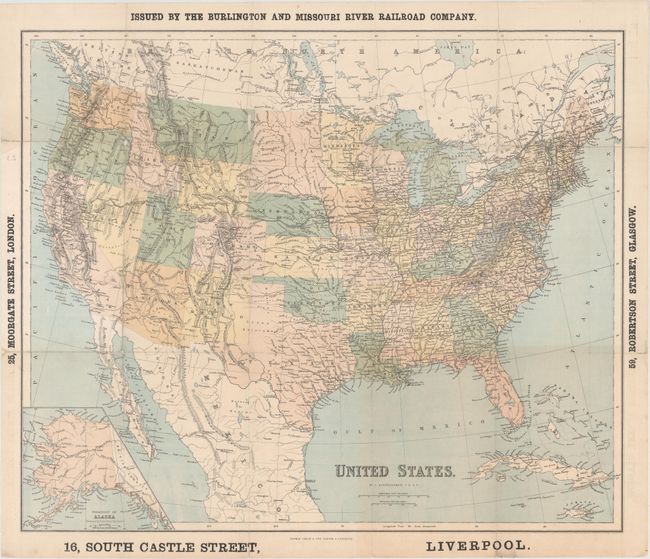
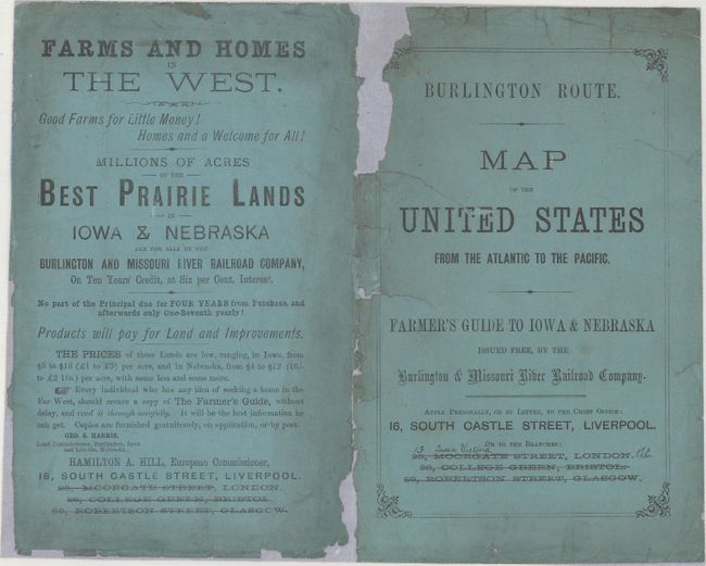
"United States", Bartholomew, John

Subject: United States

Period: 1867 (circa)

Publication:

Color: Hand Color

Size:
23.8 x 19.9 inches
60.5 x 50.5 cm
Download High Resolution Image
(or just click on image to launch the Zoom viewer)

This folding map of the Reconstruction-era United States was issued by the Burlington and Missouri River Railroad Company with a European office at 16, South Castle Street, Liverpool. Cartographically, the West has for the most part assumed its present-day shape, although the Dakotas are still one large Dakota Territory. It shows two newer states, West Virginia (admitted 1863) and Nevada (admitted 1864), but Nebraska appears to still be a territory with its capital in Omaha. An inset at bottom left depicts Alaska, which was recently purchased from Russia by Secretary of State William H. Seward. Georgia's capital is still Milledgeville; it would change to Atlanta in 1868. The map extends to show portions of Canada and Mexico, as well as Cuba and Jamaica. Included in the lot are the paper wrappers for the map (now detached), with the title Map of the United States from the Atlantic to the Pacific and an ad for purchasing prairie land in Iowa and Nebraska.

References:

Condition: B

Issued folding with numerous fold separations, some of which have been repaired with archival materials on verso. A few of the separations have resulted in minor loss of image. The accompanying paper wrappers are moderately chipped and have been flattened and backed with paper.

Estimate: $160 - $190

Sold for: $70

Closed on 9/12/2018

Archived