Catalog Archive
Auction 169, Lot 14

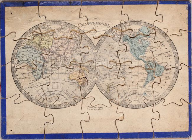
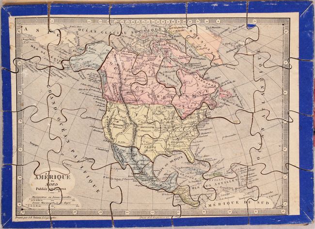
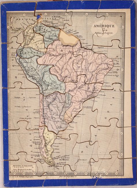
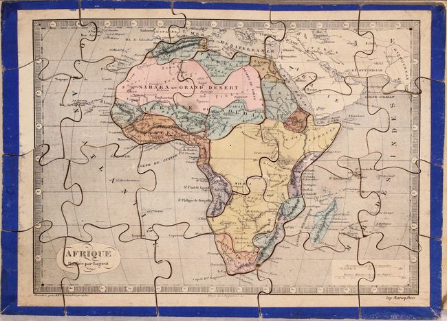
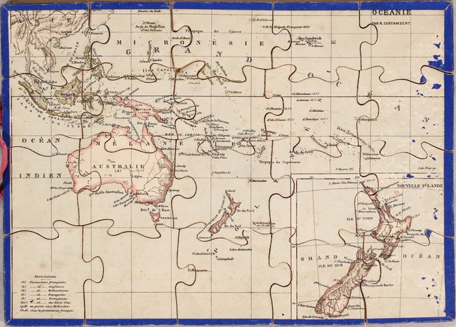
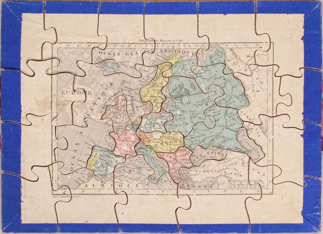
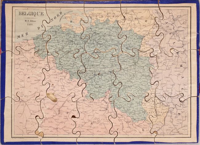
"[Lot of 7 - Puzzle Maps] Mappemonde [and] Amerique du Nord [and] Amerique du Sud [and] Afrique [and] Oceanie [and] Europe [and] Belgique", Logerot, Auguste

Subject: World & Continents

Period: 1855 (circa)

Publication:

Color: Hand Color

Size:
10.4 x 7.6 inches
26.4 x 19.3 cm
Download High Resolution Image
(or just click on image to launch the Zoom viewer)

This fascinating puzzle set contains seven maps: the world, North America, South America, Africa, Oceania, Europe, and Belgium. The maps measure approximately 10.5 x 7.5” (vary slightly) when assembled and are separated by pressed paper dividers. Each puzzle piece is mounted on thin balsa wood with original blue paper wrapped along the edges. Original box is not present.

A. Mappemonde. Condition: The puzzle is slight warped along the top third, with two small fragments chipped off but present (east of Greenland and northern South America). (B)

B. Amerique du Nord. The United States boundary with Mexico is depicted post-Gadsen Purchase (1854) and Alaska is still in Russian control (purchased in 1867). Condition: (B+)

C. Amerique du Sud. Condition: Missing two small pieces near at top. (B)

D. Afrique. Condition: One piece is chipped but the fragment is present. (B+)

E. Oceanie. Condition: There are some light surface abrasions along the right side with some small loss of image. (B)

F. Europe. Condition: There are a number of surface abrasions with some minor loss of image. (B)

G. Belgique. Condition: Missing one tiny piece with a few minor surface abrasions. (B)

References:

Condition:

Overall light soiling and staining. See description above for additional details.

Estimate: $400 - $475

Sold for: $400

Closed on 9/12/2018

Archived