Catalog Archive
Auction 168, Lot 57

"[Puzzle Map] Amerique Septentrionale", Anon.

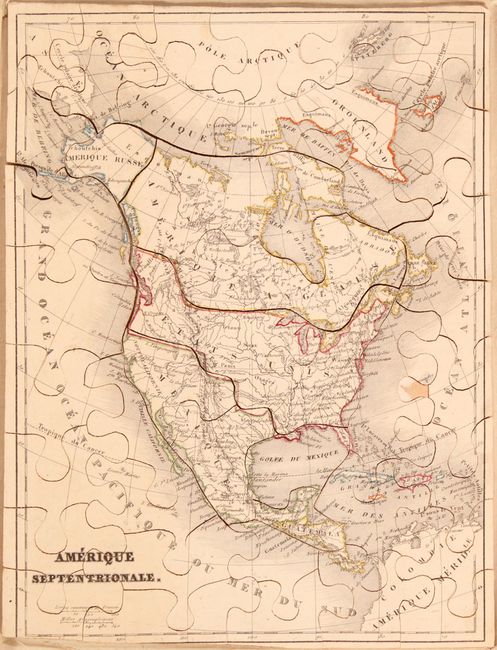
Subject: Cartographic Miscellany, North America

Period: 1830 (circa)

Publication:

Color: Hand Color

Size:
7.8 x 10.4 inches
19.8 x 26.4 cm
Download High Resolution Image
(or just click on image to launch the Zoom viewer)

This anonymous French puzzle map contains 42 pieces and is constructed of 1/8" thick wood. Cartographically, the United States claims in the Pacific Northwest extend well north into British Columbia, reflecting the French alignment with American interests during the Oregon boundary dispute. Mexico is in control of the Southwest including Texas, which is not delineated or named. Alaska is Amerique Russe. No box is present.

References:

Condition: B+

Mostly clean and bright with original outline color. There is a small abrasion on one piece in the Atlantic Ocean, and the map is trimmed to the border at bottom left. No box is present.

Estimate: $140 - $170

Sold for: $180

Closed on 6/6/2018

Archived