Catalog Archive
Auction 168, Lot 424

"Britannicarum Insularum Typus", Ortelius, Abraham
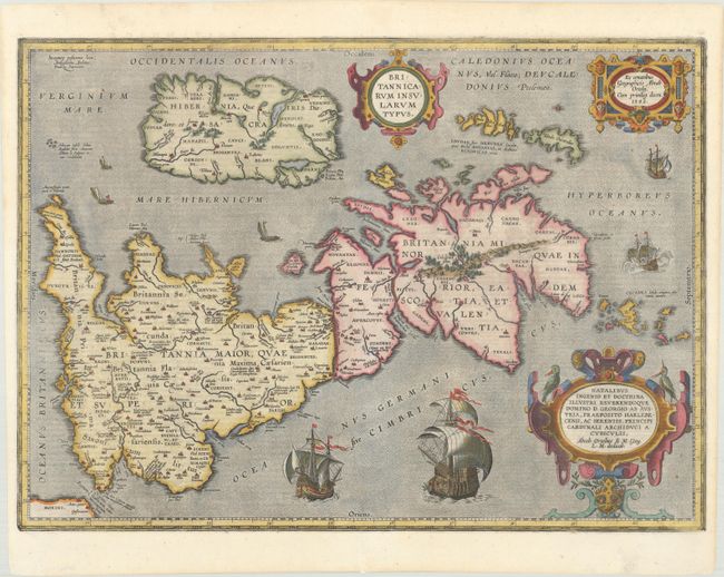
Subject: Britain

Period: 1618 (published)

Publication: Theatrum Geographiae Veteris

Color: Hand Color

Size:
20 x 14.4 inches
50.8 x 36.6 cm
Download High Resolution Image
(or just click on image to launch the Zoom viewer)

This handsome map of Roman Britain is based on information from Mercator's 1564 map of the British Isles, a new outline from Saxton's 1579 map, and ancient knowledge from Diodorus, Siculus, Plinius, Appianus, Tacitus, Caesar, and Strabo. The map is filled with ancient place names, and Hadrian's Wall and Wall of Pius (mislabeled Severi Imp. Murus) are located. Richly embellished with three large strapwork cartouches and several sailing vessels. Engraved by Jan Wierix. Latin text on verso, published in Petrus Bertius' Theatrum Geographiae Veteris.

References: Shirley (BI to 1650) #186, plt. 42; Van den Broecke #192.

Condition: A

An overall nice impression that is slightly weak in a few spots along the border. There are professional repairs to short centerfold separations in the top and bottom blank margins and to a tiny tear along the centerfold near the bottom of the image.

Estimate: $900 - $1,100

Unsold

Closed on 6/6/2018

Archived