Catalog Archive
Auction 168, Lot 421

"L'Europe Suivant les Nouvelles Observations de Mrs. de l'Academie Royale des Sciences", Fer, Nicolas de
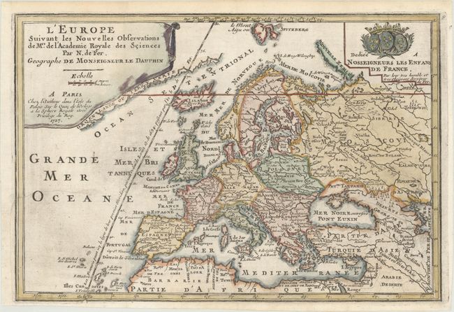
Subject: Europe

Period: 1717 (dated)

Publication: L'Atlas Curieux ou le Monde...

Color: Hand Color

Size:
12.9 x 8.8 inches
32.8 x 22.4 cm
Download High Resolution Image
(or just click on image to launch the Zoom viewer)

This small map of Europe extends east to the Caspian Sea and south to North Africa. A partial coastline of Greenland appears adjacent to the title cartouche. One line of longitude is shown running through Isle de Fer with a notation that it serves as the prime meridian based on a decree by Louis XIII in 1634. Adorned with a drape-style cartouche and a coat of arms.

References: Pastoureau, FER I D.

Condition: B+

A dark impression on watermarked paper, issued folding and now flattened with minute holes at the fold intersections and light printer's ink residue. There is a binding trim at left that has been professionally replaced with an adjacent 2" binding tear that has been archivally repaired.

Estimate: $150 - $180

Sold for: $80

Closed on 6/6/2018

Archived