Catalog Archive
Auction 168, Lot 338

"Landstreek van Guatimala", Sanson, Nicolas

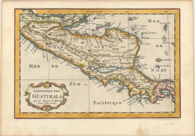
Subject: Central America

Period: 1705 (published)

Publication: Algemeene Weereld-Beschryving…

Color: Hand Color

Size:
10.8 x 7.2 inches
27.4 x 18.3 cm
Download High Resolution Image
(or just click on image to launch the Zoom viewer)

Lovely small map that illustrates the region from the Yucatan to the Gulf of Panama. It is nicely detailed, although much of the topography is still incorrect. Lago de Nicaragua has an east-west orientation. It was reduced from Sanson's folio map of 1662 and retains the same level of detail. Published in Francois Halma's Dutch edition of A. Pherotee de la Croix's Nouvelle Methode Pour Apprendre facilement la Geographie Universelle.

Sanson's small maps from his L'Amerique en Plusieurs Cartes..., first published in 1657 and engraved by A. Peyrounin, were copied several times by various map publishers. Johann David Zunners made copies of Sanson's maps for his German translation of Die Gantze Erd-Kugel in 1679. Johannes Ribbius and Simon de Vries published copies in 1682 and 1683, with new maps engraved by Antoine d'Winter. The plates were later sold to Francois Halma, who used them in 1699 and then again in 1705 with the titles re-engraved in Dutch. The titles on the d'Winter plates were re-engraved back into French, and then used by Nicholas Chemereau in 1715 and by Henri du Sauzet in 1738.

References: Kapp (MCC-103) #11.

Condition: A

A sharp impression on a bright sheet with a large coat of arms watermark, some soiling in the bottom blank margin, and light toning along the edges of the sheet.

Estimate: $150 - $180

Sold for: $80

Closed on 6/6/2018

Archived