Catalog Archive
Auction 168, Lot 278

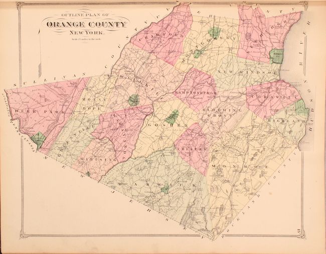
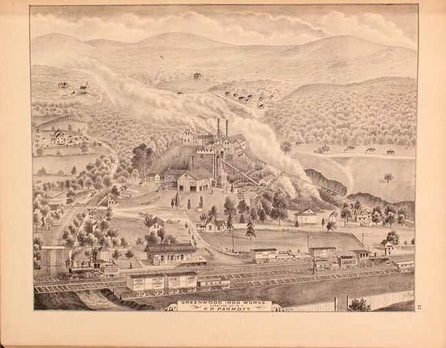
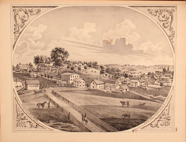
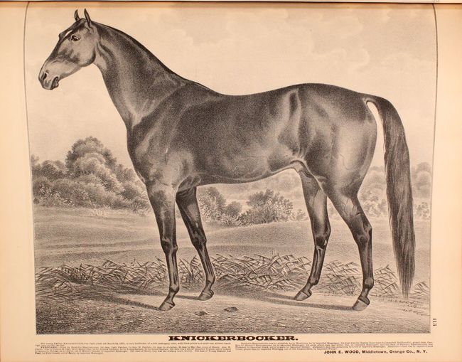
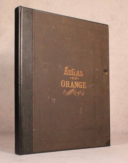
"County Atlas of Orange New York...", Beers, F. W.

Subject: Orange County, New York

Period: 1875 (published)

Publication:

Color: Hand Color

Size:
15.1 x 18 inches
38.4 x 45.7 cm
Download High Resolution Image
(or just click on image to launch the Zoom viewer)

This highly detailed and informative atlas covers all of Orange County, New York and was compiled based upon the surveys of F.W. Beers. It contains a total of 9 double-page and 25 single-page maps including double-page maps of the United States and New York state as well as numerous city and town plans. Of particular interest is the Outline Plan of Orange County which serves as the index map, and the map of Highland that depicts both West Point and the former Fort Clinton. Each of the town plans presents a wealth of information including parcels with individual land owners named, railroads, wagon roads, businesses, churches, hotels, stables, and more. The maps are augmented by numerous full page illustrations showing some of the well-to-do residences in the county as well as local businesses, providing a very real snapshot of life at the time. Accompanying text includes a history of the county, patrons' directory, and business directory. Published in Chicago by Andreas Baskin & Burr. Rebound in black quarter faux leather over matching black cloth with the original front cover pasted on top of the new binding.

References:

Condition: B+

The maps and illustrations are very good to fine with an occasional hint of light toning and minor soiling. The map of Goshen has a small edge tear at bottom that just enters the border. The title page and table of contents have some old tape repairs and reinforcements. Modern binding has minimal shelf wear, and the original front cover cloth has been pasted on top of the new board.

Estimate: $800 - $950

Unsold

Closed on 6/6/2018

Archived